
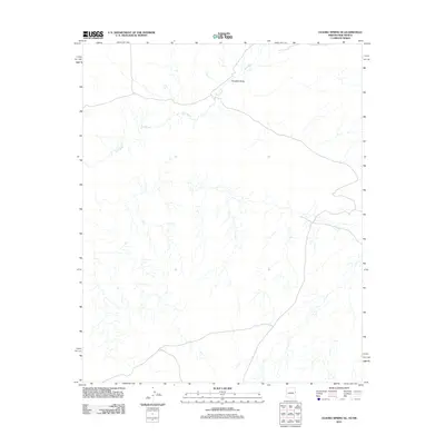
2011 Map of Ceadro Spring SE
USGS Topo · Published 2011About this map
Zuñi River meanders across this high-desert landscape in Apache County, defining the drainage patterns of a region shaped by ephemeral watercourses. This arid environment is characterized by significant topographic depressions such as Venadito Draw and Jaralosa Draw, which serve as natural conduits for seasonal runoff. The human imprint on this territory is sparse but critical, centered primarily on the infrastructure required to sustain life and travel in such a climate. Isolated water sources like Bob Water Well and Jaralosa Water Well represent the vital points of reference for local land use. Transport through this remote section of Arizona is facilitated by Indian Service Route 11, a road that cuts through the northern portion of the sheet, providing a link between the expansive drainage systems and the wider region.
Find a feature on this map
6 named features on this map. Tap any name to fly to it.
Don’t see what you’re looking for? This feature index may not catch every label — zoom into the map to look around manually.
Map Details
Editions of this 2011 Ceadro Spring SE Map
2 editions found
Other maps of this area
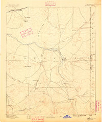
1886 · St Johns
USGS Topo · 1:250,000
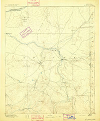
1892 · St Johns
USGS Topo · 1:250,000

1954 · Saint Johns
USGS Topo · 1:250,000

1957 · Saint Johns
USGS Topo · 1:250,000

1958 · Saint Johns
USGS Topo · 1:250,000

1962 · Saint Johns
USGS Topo · 1:250,000
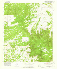
1972 · Cantaralo Spring
USGS Topo · 1:24,000
1972 · Ojo Caliente Reservoir
USGS Topo · 1:24,000
1972 · Venadito Camp
USGS Topo · 1:24,000
1977 · Ceadro Spring
USGS Topo · 1:24,000