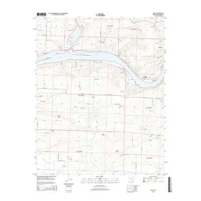
2014 Map of Cecil
USGS Topo · Published 2014About this map
The Arkansas River carves a dramatic bend through the heart of this Franklin County landscape, creating the expansive Ozark Lake reach. On the northern banks, the terrain rises toward Ozark, while the southern hills are defined by the heights of Mill Creek Mtn and the deep incision of Pine Hollow. This area is marked by a blend of agricultural life and natural resource extraction, evidenced by the North Cecil Gas Field and Cecil Gas Field surrounding the small community of Cecil.
Find a feature on this map
82 named features on this map. Tap any name to fly to it.
Don’t see what you’re looking for? This feature index may not catch every label — zoom into the map to look around manually.
Map Details
Editions of this 2014 Cecil Map
This is the sole edition of this map. No revisions or reprints were ever made.
Other maps of this area
1879 · Cravens
USGS Topo · 1:62,500
1887 · Magazine Mountain #2
USGS Topo · 1:62,500
1887 · Watalula
USGS Topo · 1:62,500
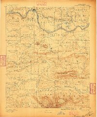
1887 · Magazine Mountain
USGS Topo · 1:62,500
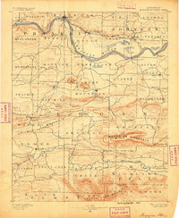
1890 · Magazine Mountain
USGS Topo · 1:125,000
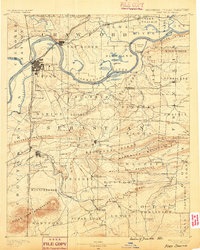
1890 · Fort Smith
USGS Topo · 1:125,000
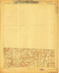
1898 · Winslow #4
USGS Topo · 1:62,500
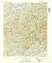
1898 · Winslow
USGS Topo · 1:125,000
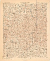
1901 · Winslow
USGS Topo · 1:125,000
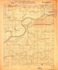
1906 · Lavaca
USGS Topo · 1:62,500