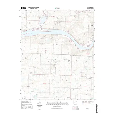
2017 Map of Cecil
USGS Topo · Published 2017About this map
The Arkansas River carves a deep valley through Franklin County, defining the geography between the elevated ridges of Mill Creek Mtn and the northern heights of Manitou Mountain Rd. This 2017 survey details a landscape where small rural settlements like Cecil and Meg are connected by a network of local roads such as HWY 36 and Marcusson Hill RD. The area is notably dense with small family and community burial grounds, including the Berkley Cem, Browns Chapel Cem, and Patterson Cem, providing significant touchpoints for genealogical research.
Find a feature on this map
83 named features on this map. Tap any name to fly to it.
Don’t see what you’re looking for? This feature index may not catch every label — zoom into the map to look around manually.
Map Details
Editions of this 2017 Cecil Map
This is the sole edition of this map. No revisions or reprints were ever made.
Other maps of this area
1879 · Cravens
USGS Topo · 1:62,500
1887 · Magazine Mountain #2
USGS Topo · 1:62,500
1887 · Watalula
USGS Topo · 1:62,500
1887 · Magazine Mountain
USGS Topo · 1:62,500
1890 · Magazine Mountain
USGS Topo · 1:125,000
1890 · Fort Smith
USGS Topo · 1:125,000
1898 · Winslow #4
USGS Topo · 1:62,500
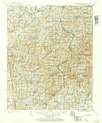
1898 · Winslow
USGS Topo · 1:125,000
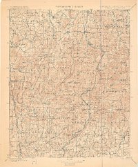
1901 · Winslow
USGS Topo · 1:125,000
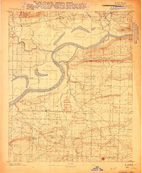
1906 · Lavaca
USGS Topo · 1:62,500