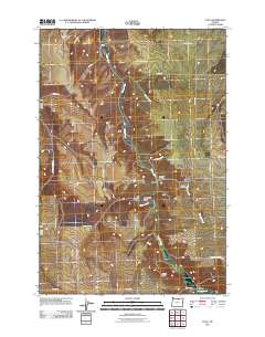
2011 Map of Cecil
USGS Topo · Published 2011About this map
Willow Creek carves a winding path through this portion of Morrow County, anchoring the small settlements of Cecil and Morgan. This landscape is defined by its deep canyons and named topographical landmarks, such as Morgan Canyon, Ely Canyon, and the distinct curve of Horseshoe Bend. The map documents a rural environment where transportation history is literally written into the road names, notably the Oregon Trl and Immigrant Ln, which parallel the northern reaches of the creek.
Find a feature on this map
26 named features on this map. Tap any name to fly to it.
Don’t see what you’re looking for? This feature index may not catch every label — zoom into the map to look around manually.
Map Details
Editions of this 2011 Cecil Map
This is the sole edition of this map. No revisions or reprints were ever made.
Other maps of this area

1906 · Blalock Island
USGS Topo · 1:125,000

1908 · Blalock Island
USGS Topo · 1:125,000

1916 · Arlington
USGS Topo · 1:125,000

1916 · Condon
USGS Topo · 1:125,000

1953 · Pendleton
USGS Topo · 1:250,000

1953 · The Dalles
USGS Topo · 1:250,000

1956 · The Dalles
USGS Topo · 1:250,000

1956 · Pendleton
USGS Topo · 1:250,000

1957 · The Dalles
USGS Topo · 1:250,000

1964 · Hickland Butte
USGS Topo · 1:24,000