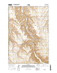
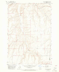
2017 Map of Cecil
USGS Topo · Published 2017About this map
Willow Cr carves a deep path through the plateau as it flows past the small settlements of Cecil and Morgan in Morrow County. The landscape is defined by its dramatic relief, where names like Horseshoe Bend and Saddle Butte describe the physical character of the high desert terrain. This 2017 survey details a network of canyons, including Schoolhouse Canyon and Morgan Canyon, that branch away from the main creek valley. Local history is anchored at the Morgan Cem and along a system of long-established rural roads. Notable routes such as Immigrant Ln and Palamateer Rd follow the natural contours of the land, connecting isolated ranches and farmsteads. The map clearly illustrates how the agricultural and residential life of this region remains closely tied to the water sources and manageable grades of the canyon floors.
Find a feature on this map
30 named features on this map. Tap any name to fly to it.
Don’t see what you’re looking for? This feature index may not catch every label — zoom into the map to look around manually.
Map Details
Editions of this 2017 Cecil Map
This is the sole edition of this map. No revisions or reprints were ever made.
Other maps of this area
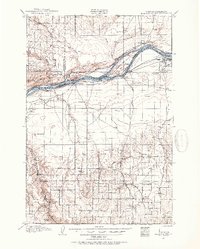
1906 · Blalock Island
USGS Topo · 1:125,000
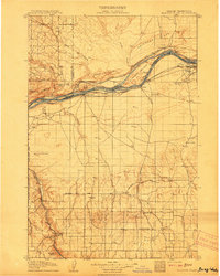
1908 · Blalock Island
USGS Topo · 1:125,000
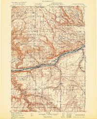
1916 · Arlington
USGS Topo · 1:125,000
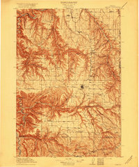
1916 · Condon
USGS Topo · 1:125,000

1953 · Pendleton
USGS Topo · 1:250,000
1953 · The Dalles
USGS Topo · 1:250,000
1956 · The Dalles
USGS Topo · 1:250,000

1956 · Pendleton
USGS Topo · 1:250,000
1957 · The Dalles
USGS Topo · 1:250,000
1964 · Hickland Butte
USGS Topo · 1:24,000