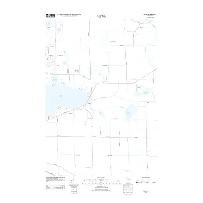
2013 Map of Cecil
USGS Topo · Published 2013About this map
Shawano Lake defines the western edge of this 2013 topographic survey, where the village of Cecil serves as a central hub for the surrounding lakeside and agricultural landscape. The map details a transition from the water-oriented residential developments surrounding Washington Lake and Lulu Lake to the productive dairy lands of the interior, exemplified by Milk-N-More Farms. This area of eastern Wisconsin exhibits a complex hydrological network where Pickerel Creek and the Oconto River thread through a mosaic of smaller basins like Korth Lake and White Clay Lake. The inclusion of the Deer Haven Ranch Airport and the crossroads at Tracy Corners illustrates the intersection of rural utility and regional transportation. To the east, the Pensaukee Lakes and the headwaters of the W Br Shioc River suggest the marshy, low-lying character of the terrain that influences local road placement, including Cheese Factory Rd.
Find a feature on this map
84 named features on this map. Tap any name to fly to it.
Don’t see what you’re looking for? This feature index may not catch every label — zoom into the map to look around manually.
Map Details
Editions of this 2013 Cecil Map
This is the sole edition of this map. No revisions or reprints were ever made.
Other maps of this area

1954 · Shawano
USGS Topo · 1:48,000

1955 · Embarrass
USGS Topo · 1:48,000

1955 · Seymour
USGS Topo · 1:62,500

1955 · Green Bay
USGS Topo · 1:250,000

1956 · Gillett
USGS Topo · 1:62,500

1964 · Shawano
USGS Topo · 1:62,500

1969 · Lunds
USGS Topo · 1:24,000

1974 · Cecil
USGS Topo · 1:24,000
1974 · Gillett
USGS Topo · 1:24,000
1974 · Berry Lake
USGS Topo · 1:24,000