
1974 Map of Cecil
USGS Topo · Published 1977About this map
Shawano Lake dominates the western landscape of this mid-1970s survey, its shores lined with the Shawano Lake State Fishery Area and various public access points. The village of Cecil serves as a primary hub on the eastern bank, situated near the mouth of Pickerel Creek. The map documents a transition from the lakeside recreation and fishing culture to the agricultural and timbered lands of Underhill and Washington townships.
Find a feature on this map
56 named features on this map. Tap any name to fly to it.
Don’t see what you’re looking for? This feature index may not catch every label — zoom into the map to look around manually.
Map Details
Editions of this 1974 Cecil Map
This is the sole edition of this map. No revisions or reprints were ever made.
Other maps of this area

1954 · Shawano
USGS Topo · 1:48,000

1955 · Embarrass
USGS Topo · 1:48,000

1955 · Seymour
USGS Topo · 1:62,500

1955 · Green Bay
USGS Topo · 1:250,000

1956 · Gillett
USGS Topo · 1:62,500

1964 · Shawano
USGS Topo · 1:62,500

1969 · Lunds
USGS Topo · 1:24,000
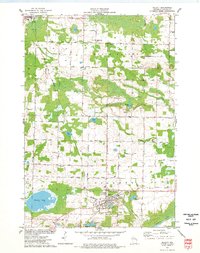
1974 · Gillett
USGS Topo · 1:24,000
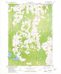
1974 · Berry Lake
USGS Topo · 1:24,000

1974 · Zachow
USGS Topo · 1:24,000