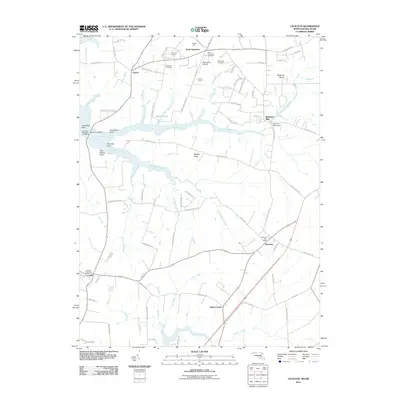
2011 Map of Cecilton
USGS Topo · Published 2011About this map
Bohemia Manor anchors this 2011 survey of the upper Delmarva Peninsula, where the landscape is defined by the branching tidal reaches of the Great Bohemia Creek and Little Bohemia Creek. The map documents a predominantly rural and equestrian terrain, evidenced by numerous named agricultural properties like Winbak Farm, Unicorn Farms, and Sycamore Hall Farm. The historical core of the region is centered on settlements such as Cecilton and Warwick, the latter featuring a dedicated post office near the Maryland Line Rd.
Find a feature on this map
80 named features on this map. Tap any name to fly to it.
Don’t see what you’re looking for? This feature index may not catch every label — zoom into the map to look around manually.
Map Details
Editions of this 2011 Cecilton Map
This is the sole edition of this map. No revisions or reprints were ever made.
Other maps of this area

1898 · Elkton
USGS Topo · 1:62,500

1899 · Dover
USGS Topo · 1:125,000

1900 · Elkton
USGS Topo · 1:62,500

1900 · Cecilton
USGS Topo · 1:62,500

1904 · Wilmington
USGS Topo · 1:62,500

1906 · Dover
USGS Topo · 1:125,000

1906 · Wilmington
USGS Topo · 1:62,500

1917 · Elkton
USGS Topo · 1:62,500

1919 · Wilmington
USGS Topo · 1:62,500

1920 · Dover
USGS Topo · 1:125,000