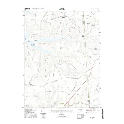
2016 Map of Cecilton
USGS Topo · Published 2016About this map
Great Bohemia Creek and Little Bohemia Creek carve deep into the landscape of the Delmarva Peninsula, defining the peninsular necks that characterize this region. This modern survey illustrates the enduring agricultural and residential patterns of the borderlands between Maryland and Delaware, where the Sassafras River forms a significant natural boundary to the south. Historically significant sites like Bohemia Manor and Bohemias Mills anchor the northern reaches of the map, while small crossroads communities such as Cayots, Warwick, and Cecilton connect the rural interior.
Find a feature on this map
92 named features on this map. Tap any name to fly to it.
Don’t see what you’re looking for? This feature index may not catch every label — zoom into the map to look around manually.
Map Details
Editions of this 2016 Cecilton Map
This is the sole edition of this map. No revisions or reprints were ever made.
Other maps of this area

1898 · Elkton
USGS Topo · 1:62,500

1899 · Dover
USGS Topo · 1:125,000

1900 · Elkton
USGS Topo · 1:62,500

1900 · Cecilton
USGS Topo · 1:62,500

1904 · Wilmington
USGS Topo · 1:62,500

1906 · Dover
USGS Topo · 1:125,000

1906 · Wilmington
USGS Topo · 1:62,500

1917 · Elkton
USGS Topo · 1:62,500

1919 · Wilmington
USGS Topo · 1:62,500

1920 · Dover
USGS Topo · 1:125,000