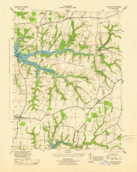
1944 Map of Cecilton
USGS Topo · Published 1944About this map
The Maryland-Delaware border region south of the Chesapeake and Delaware Canal was defined by agrarian necks of land during the mid-1940s. Centered on the village of Cecilton, this survey by the U.S. Coast and Geodetic Survey illustrates the intricate geography of Sassafras Neck and Middle Neck, where the landscape is deeply incised by the Great Bohemia Creek and Little Bohemia Creek. The border between Cecil Co and New Castle Co is meticulously marked by boundary monuments, including MD-DEL Boundary Mon 3 and MD-DEL Boundary Mon 5, tracing the colonial dividing line across The Levels Road.
Find a feature on this map
36 named features on this map. Tap any name to fly to it.
Don’t see what you’re looking for? This feature index may not catch every label — zoom into the map to look around manually.
Map Details
Editions of this 1944 Cecilton Map
This is the sole edition of this map. No revisions or reprints were ever made.
Other maps of this area

1898 · Elkton
USGS Topo · 1:62,500

1899 · Dover
USGS Topo · 1:125,000

1900 · Elkton
USGS Topo · 1:62,500

1900 · Cecilton
USGS Topo · 1:62,500

1904 · Wilmington
USGS Topo · 1:62,500

1906 · Dover
USGS Topo · 1:125,000

1906 · Wilmington
USGS Topo · 1:62,500

1917 · Elkton
USGS Topo · 1:62,500

1919 · Wilmington
USGS Topo · 1:62,500

1920 · Dover
USGS Topo · 1:125,000