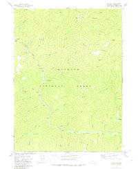
1979 Map of Cecilville
USGS Topo · Published 1983About this map
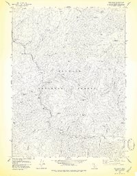
Yoakumville (Site) sits along the South Fork Salmon River in this 1970s record of a storied California mining district. The landscape of the Klamath National Forest is heavily marked by gold-era industry, showing multiple named excavations including the White Bear Mine, Starveout Mine, and the King Solomon Mine. These mining operations are linked by a network of steep canyons and gulches, such as Butcher Gulch and Fourth of July Gulch, that feed into the main river channel. Local habitation is reflected in outlying sites like Godfrey Ranch, Blue Ridge Ranch, and McDowell Camp. The map also captures the essential infrastructure of this mountain terrain, from numerous Cable Crossings over the river to the Crawford Cr FS Station near the eastern boundary, providing a precise view of the region's mid-century rural and industrial layout.
Find a feature on this map
52 named features on this map. Tap any name to fly to it.
Don’t see what you’re looking for? This feature index may not catch every label — zoom into the map to look around manually.
Map Details
Editions of this 1979 Cecilville Map
3 editions found
Other maps of this area

1948 · Weed
USGS Topo · 1:250,000

1950 · Weed
USGS Topo · 1:250,000

1955 · Salmon Mtn
USGS Topo · 1:62,500

1955 · Cecilville
USGS Topo · 1:62,500

1955 · Sawyers Bar
USGS Topo · 1:62,500

1955 · Forks of Salmon
USGS Topo · 1:62,500

1958 · Weed
USGS Topo · 1:250,000

1963 · Weed
USGS Topo · 1:250,000
1977 · Tanners Peak
USGS Topo · 1:24,000
1978 · Cecilville
USGS Topo · 1:24,000