
1955 Map of Cecilville
USGS Topo · Published 1957About this map
Cecilville serves as the central hub of this mid-century survey, situated at the confluence of the South Fork Salmon River and various gulches. The landscape is defined by its mining and ranching heritage, with several former settlements and camps dispersed throughout the Salmon Mountains. To the north, the Black Bear community and the White Bear Mine indicate the area's extraction history, while locations like Yoakumville (Site) and Summerville (Site) mark the footprints of earlier pioneer habitations that had faded by the time of this 1955 field check.
Find a feature on this map
135 named features on this map. Tap any name to fly to it.
Don’t see what you’re looking for? This feature index may not catch every label — zoom into the map to look around manually.
Map Details
Editions of this 1955 Cecilville Map
5 editions found
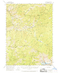
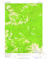
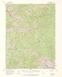
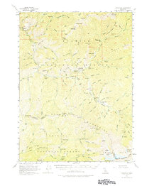
Other maps of this area

1886 · Shasta
USGS Topo · 1:250,000

1890 · Red Bluff
USGS Topo · 1:250,000

1894 · Red Bluff
USGS Topo · 1:250,000

1894 · Shasta
USGS Topo · 1:250,000

1909 · Big Bar
USGS Topo · 1:96,000

1913 · Weaverville
USGS Topo · 1:125,000

1915 · Big Bar and Vicinity
USGS Topo · 1:250,000

1923 · Sawyers Bar
USGS Topo · 1:125,000

1931 · Etna
USGS Topo · 1:96,000

1934 · Etna
USGS Topo · 1:125,000