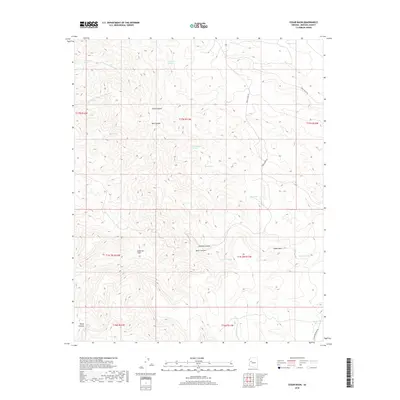
2018 Map of Cedar Basin
USGS Topo · Published 2018About this map
The Aquarius Cliffs dominate the southwestern portion of this landscape, creating a dramatic vertical break in the high desert of Mohave County. This 2018 survey reveals a network of canyons and washes that define the area's drainage, including Hawk Canyon, Bull Canyon, and the deep Black Canyon to the south. Water is a scarce and vital resource here, marked by isolated points like Red Canyon Spring, Cottonwood Spring, and Blue Spring, which traditionally served as essential watering holes for livestock in this remote grazing country. Development is minimal, centered primarily on primitive routes such as Trout Creek Rd and Sycamore Creek Rd. The presence of improved water sources like Mesa Tank and Shelton Tank alongside natural features like the W Fork Sycamore Cr indicates a landscape shaped by the needs of high-elevation ranching and rugged topography.
Find a feature on this map
30 named features on this map. Tap any name to fly to it.
Don’t see what you’re looking for? This feature index may not catch every label — zoom into the map to look around manually.
Map Details
Editions of this 2018 Cedar Basin Map
This is the sole edition of this map. No revisions or reprints were ever made.
Other maps of this area
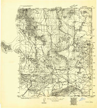
1923 · Signal
USGS Topo · 1:250,000
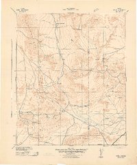
1942 · Signal
USGS Topo · 1:250,000
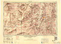
1950 · Prescott
USGS Topo · 1:250,000
1954 · Prescott
USGS Topo · 1:250,000
1958 · Prescott
USGS Topo · 1:250,000
1959 · Prescott
USGS Topo · 1:250,000
1960 · Prescott
USGS Topo · 1:250,000
1965 · Prescott
USGS Topo · 1:250,000
1967 · Tom Brown Canyon
USGS Topo · 1:24,000
1967 · Tule Wash
USGS Topo · 1:24,000