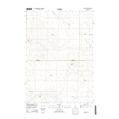
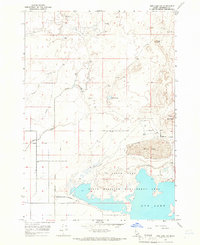
2013 Map of Cedar Butte
USGS Topo · Published 2013About this map
Cedar Butte and Camas Butte dominate this high-desert landscape along the boundary of Clark and Jefferson Counties. Surveyed in the early 21st century, the map reveals a sparsely populated terrain where volcanic features and drainage patterns define the land use. Seasonal water courses like Cottonwood Cr and Beaver Cr meander through the flats, while the isolated Rock Lakes provide a rare hydrologic signature in this arid region. The network of local roads, including Camas Monteview Rd and Jefferson Rd, suggests a landscape primarily dedicated to ranching or conservation, notably near the Camas Refuge Rd corridor. This survey captures the topographical transition from the open expanse of Dutch Flat to the prominent rise of Table Butte, documenting the geographic character of the Snake River Plain's northern edge.
Find a feature on this map
17 named features on this map. Tap any name to fly to it.
Don’t see what you’re looking for? This feature index may not catch every label — zoom into the map to look around manually.
Map Details
Editions of this 2013 Cedar Butte Map
This is the sole edition of this map. No revisions or reprints were ever made.
Other maps of this area

1955 · Dubois
USGS Topo · 1:250,000
1955 · Idaho Falls
USGS Topo · 1:250,000

1958 · Dubois
USGS Topo · 1:250,000
1958 · Idaho Falls
USGS Topo · 1:250,000
1964 · Dubois NW
USGS Topo · 1:24,000
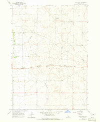
1964 · Lone Butte
USGS Topo · 1:24,000
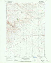
1964 · Small
USGS Topo · 1:24,000
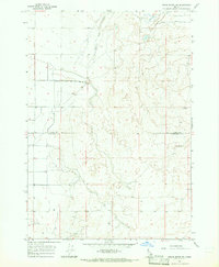
1964 · Cedar Butte SW
USGS Topo · 1:24,000
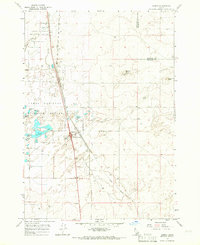
1964 · Hamer
USGS Topo · 1:24,000
1964 · Mud Lake NW
USGS Topo · 1:24,000