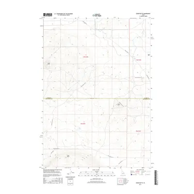
2017 Map of Cedar Butte
USGS Topo · Published 2017About this map
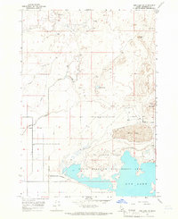
Distinctive volcanic rises and drainage patterns define this corner of the Snake River Plain along the boundary of Clark and Jefferson Counties. Elevated features like Cedar Butte and Camas Butte break the surrounding landscape, providing essential topographic landmarks in a region largely characterized by wide open spaces like Dutch Flat. The presence of Rock Lakes and seasonal drainages such as Cottonwood Cr and Beaver Cr illustrate the hydrological character of this arid environment.
Find a feature on this map
17 named features on this map. Tap any name to fly to it.
Don’t see what you’re looking for? This feature index may not catch every label — zoom into the map to look around manually.
Map Details
Editions of this 2017 Cedar Butte Map
This is the sole edition of this map. No revisions or reprints were ever made.
Other maps of this area

1955 · Dubois
USGS Topo · 1:250,000
1955 · Idaho Falls
USGS Topo · 1:250,000

1958 · Dubois
USGS Topo · 1:250,000
1958 · Idaho Falls
USGS Topo · 1:250,000
1964 · Dubois NW
USGS Topo · 1:24,000
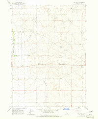
1964 · Lone Butte
USGS Topo · 1:24,000
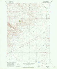
1964 · Small
USGS Topo · 1:24,000
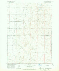
1964 · Cedar Butte SW
USGS Topo · 1:24,000
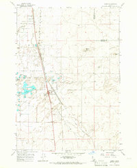
1964 · Hamer
USGS Topo · 1:24,000
1964 · Mud Lake NW
USGS Topo · 1:24,000