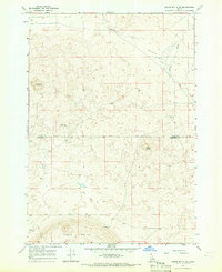
1964 Map of Cedar Butte SE
USGS Topo · Published 1966About this map
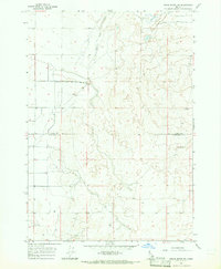
Table Butte and the surrounding high desert of the Snake River Plain dominate this mid-century landscape on the border of Clark Co and Jefferson Co. The terrain is defined by volcanic features like Cedar Butte and Camas Butte, standing as distinct landmarks above the alluvial plains. Water management in this arid environment is evident through several infrastructure points, including Dutch Flat Well and Cedar Butte Wells, which supported ranching and transit across Dutch Flat.
Find a feature on this map
15 named features on this map. Tap any name to fly to it.
Don’t see what you’re looking for? This feature index may not catch every label — zoom into the map to look around manually.
Map Details
Editions of this 1964 Cedar Butte SE Map
This is the sole edition of this map. No revisions or reprints were ever made.
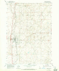
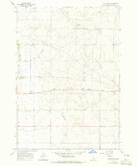
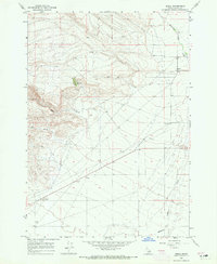
Other maps of this area

1955 · Dubois
USGS Topo · 1:250,000

1955 · Idaho Falls
USGS Topo · 1:250,000

1958 · Dubois
USGS Topo · 1:250,000

1958 · Idaho Falls
USGS Topo · 1:250,000
1964 · Dubois NW
USGS Topo · 1:24,000
1964 · Lone Butte
USGS Topo · 1:24,000
1964 · Small
USGS Topo · 1:24,000
1964 · Cedar Butte SW
USGS Topo · 1:24,000
1964 · Hamer
USGS Topo · 1:24,000
1964 · Mud Lake NW
USGS Topo · 1:24,000