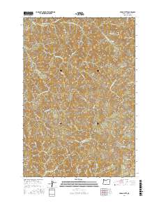
2017 Map of Cedar Butte
USGS Topo · Published 2017About this map
Cedar Butte and Sawtooth Ridge define the high terrain of this portion of Tillamook County, where the headwaters of the Kilchis and Wilson rivers diverge. This 2017 survey shows a landscape dominated by forestry access and natural water features, including Kilchis Falls and the deep drainage of Fossil Canyon. The drainage network is dense, with named tributaries such as Schmitz Cr, Company Cr, and Klahn Cr feeding the larger North Fork Kilchis River and the Little N Fork Wilson River.
Find a feature on this map
45 named features on this map. Tap any name to fly to it.
Don’t see what you’re looking for? This feature index may not catch every label — zoom into the map to look around manually.
Map Details
Editions of this 2017 Cedar Butte Map
This is the sole edition of this map. No revisions or reprints were ever made.
Other maps of this area
1937 · Nehalem
USGS Topo · 1:62,500
1937 · Enright
USGS Topo · 1:62,500
1941 · Enright
USGS Topo · 1:62,500
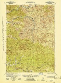
1942 · Ginger Peak
USGS Topo · 1:62,500
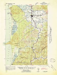
1942 · Tillamook
USGS Topo · 1:62,500
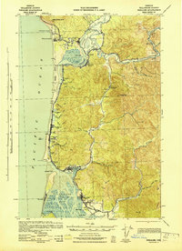
1943 · Nehalem
USGS Topo · 1:62,500
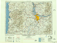
1948 · Vancouver
USGS Topo · 1:250,000
1950 · Vancouver
USGS Topo · 1:250,000
1950 · Vancouver
USGS Topo · 1:250,000
1955 · Blaine
USGS Topo · 1:62,500