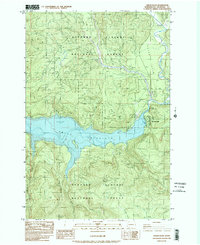
1983 Map of Cedar Flats
USGS Topo · Published 1984About this map
Gifford Pinchot National Forest dominates this mountain landscape, which was profoundly altered by the 1980 eruption of Mount St. Helens just west of this quadrangle. The map captures the industrial and recreational infrastructure of the early 1980s, centered around the Swift Reservoir and the Lewis River. The presence of several Borrow Pit and Gravel Pit locations, along with numerous 4wd tracks, reflects the ongoing land management and restoration efforts in the volcanic monument's vicinity.
Find a feature on this map
27 named features on this map. Tap any name to fly to it.
Don’t see what you’re looking for? This feature index may not catch every label — zoom into the map to look around manually.
Map Details
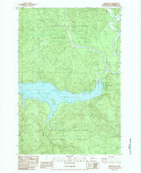
Editions of this 1983 Cedar Flats Map
2 editions found
Other maps of this area

1919 · Mount St Helens
USGS Topo · 1:125,000

1926 · Steamboat Mtn
USGS Topo · 1:125,000

1926 · Hood River
USGS Topo · 1:125,000

1929 · Hood River
USGS Topo · 1:125,000

1931 · Steamboat Mtn
USGS Topo · 1:125,000

1940 · Lookout Mtn
USGS Topo · 1:62,500

1948 · Vancouver
USGS Topo · 1:250,000

1950 · Vancouver
USGS Topo · 1:250,000

1950 · Vancouver
USGS Topo · 1:250,000

1950 · Yakima
USGS Topo · 1:250,000