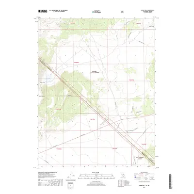
2018 Map of Cedar Hill
USGS Topo · Published 2018About this map
Cedar Hill dominates the central landscape of this high-desert region on the border of California and Nevada, where the Toiyabe National Forest and Inyo National Forest converge. The topography is defined by the stark contrasts of Alkali Valley and the surrounding Anchorite Hills, illustrating the arid basin-and-range geography of Mono County. Historically significant paths, including the Von Schmidt Connector and the State Line Trail, trace the geopolitical boundary between states, a line further marked by the intersection of Mineral and Mono counties.
Find a feature on this map
32 named features on this map. Tap any name to fly to it.
Don’t see what you’re looking for? This feature index may not catch every label — zoom into the map to look around manually.
Map Details
Editions of this 2018 Cedar Hill Map
This is the sole edition of this map. No revisions or reprints were ever made.
Other maps of this area
1909 · Hawthorne
USGS Topo · 1:250,000
1911 · Hawthorne
USGS Topo · 1:250,000
1915 · Hawthorne
USGS Topo · 1:250,000

1948 · Walker Lake
USGS Topo · 1:250,000
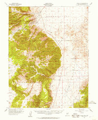
1955 · Powell Mtn
USGS Topo · 1:62,500
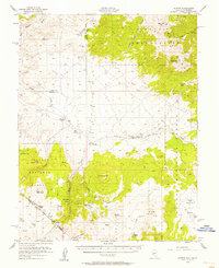
1956 · Aurora
USGS Topo · 1:62,500
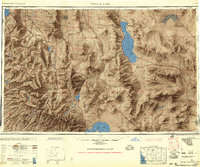
1957 · Walker Lake
USGS Topo · 1:250,000
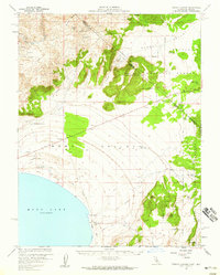
1958 · Trench Canyon
USGS Topo · 1:62,500
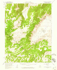
1958 · Huntoon Valley
USGS Topo · 1:62,500
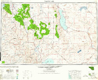
1962 · Walker Lake
USGS Topo · 1:250,000