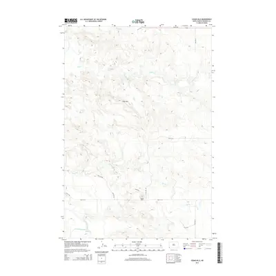
2014 Map of Cedar Hills
USGS Topo · Published 2014About this map
Cedar Hills defines this landscape in southwestern North Dakota, characterized by a complex network of ephemeral drainages and rising elevations. The terrain is marked by the presence of Sunset Butte, a prominent high point standing above the surrounding plains. The southern portion of the quadrangle is anchored by the Little Missouri River, which is fed by several tributaries including Skull Cr and Bog Cr.
Find a feature on this map
18 named features on this map. Tap any name to fly to it.
Don’t see what you’re looking for? This feature index may not catch every label — zoom into the map to look around manually.
Map Details
Editions of this 2014 Cedar Hills Map
This is the sole edition of this map. No revisions or reprints were ever made.
Other maps of this area
1953 · Dickinson
USGS Topo · 1:250,000
1957 · Dickinson
USGS Topo · 1:250,000
1973 · Kid Creek
USGS Topo · 1:24,000
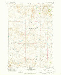
1973 · Camel Butte
USGS Topo · 1:24,000
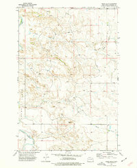
1973 · Cedar Hills
USGS Topo · 1:24,000
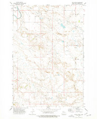
1973 · Mud Buttes
USGS Topo · 1:24,000
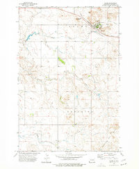
1973 · Rhame
USGS Topo · 1:24,000
1973 · Cedar Ridge
USGS Topo · 1:24,000
1979 · Ives
USGS Topo · 1:24,000
1980 · Marmarth
USGS Topo · 1:24,000