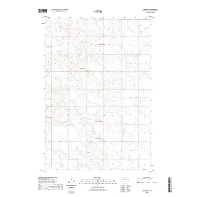
2020 Map of Cedar Hills
USGS Topo · Published 2020About this map
The Little Missouri River carves through the western edge of this Bowman County landscape, where the high plains break into the topographic complexity of the Cedar Hills. The area is defined by a series of drainages, including Coyote Cr, Spring Cr, and Bog Cr, which have sculpted the Plains Valley over time. This modern geospatial survey shows a landscape heavily influenced by energy extraction, evidenced by specialized infrastructure like Oilfield Rd and the specifically named Oil Rd to the Dennis. Prominent landmarks such as Sunset Butte rise above the drainage networks, serving as key navigational points in a region where section lines like 88th St SW and 163rd Ave SW impose a rigid human geometry onto the winding natural watercourses of the northern Great Plains.
Find a feature on this map
20 named features on this map. Tap any name to fly to it.
Don’t see what you’re looking for? This feature index may not catch every label — zoom into the map to look around manually.
Map Details
Editions of this 2020 Cedar Hills Map
This is the sole edition of this map. No revisions or reprints were ever made.
Other maps of this area
1953 · Dickinson
USGS Topo · 1:250,000
1957 · Dickinson
USGS Topo · 1:250,000
1973 · Kid Creek
USGS Topo · 1:24,000
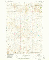
1973 · Camel Butte
USGS Topo · 1:24,000
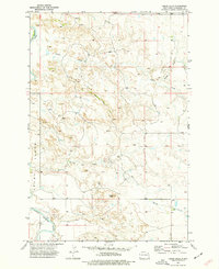
1973 · Cedar Hills
USGS Topo · 1:24,000
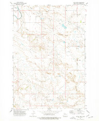
1973 · Mud Buttes
USGS Topo · 1:24,000
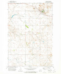
1973 · Rhame
USGS Topo · 1:24,000
1973 · Cedar Ridge
USGS Topo · 1:24,000
1979 · Ives
USGS Topo · 1:24,000
1980 · Marmarth
USGS Topo · 1:24,000