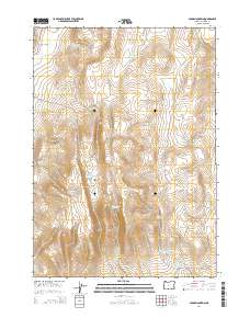
2014 Map of Cedar Mountain
USGS Topo · Published 2014About this map
Cedar Mountain stands as the central landmark in this high-desert region of Malheur County, where the landscape is defined by its critical water management infrastructure. The terrain is characterized by a high concentration of small, named reservoirs used for ranching and wildlife in an arid environment. Locations like Cook Stove Basin and Little Mud Flat indicate the local nomenclature of the plains, while the names of the water sources — such as Hard Time Reservoir, Long Walk Reservoir, and Burnt Stump Reservoir — reflect the practical and perhaps difficult nature of land use in this part of Oregon. These reservoirs, including David Kent Reservoir and Horsetail Reservoir, are fed by seasonal drainages like Butte Cr and Rinehart Cr. Modern access to this remote rangeland is maintained via Crowley Rd and Antelope Flat Rd, which trace the section lines of the Public Land Survey System.
Find a feature on this map
28 named features on this map. Tap any name to fly to it.
Don’t see what you’re looking for? This feature index may not catch every label — zoom into the map to look around manually.
Map Details
Editions of this 2014 Cedar Mountain Map
This is the sole edition of this map. No revisions or reprints were ever made.
Other maps of this area
1955 · Boise
USGS Topo · 1:250,000
1958 · Boise
USGS Topo · 1:250,000
1962 · Boise
USGS Topo · 1:250,000
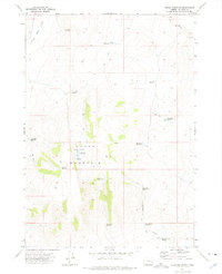
1972 · Cedar Mountain
USGS Topo · 1:24,000
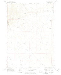
1972 · Burnt Flat
USGS Topo · 1:24,000
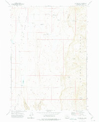
1972 · Big Mud Flat
USGS Topo · 1:24,000
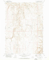
1972 · Wall Rock Springs
USGS Topo · 1:24,000
1972 · Sacramento Butte
USGS Topo · 1:24,000
1972 · Rinehart Canyon
USGS Topo · 1:24,000
1972 · Copeland Reservoirs
USGS Topo · 1:24,000