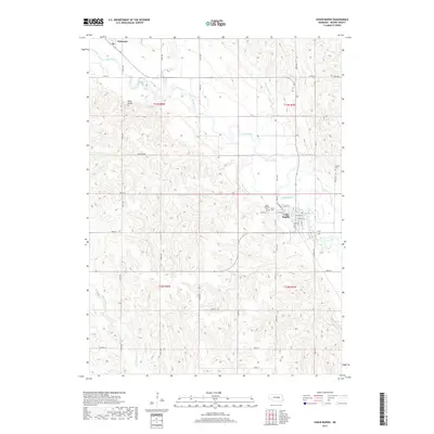
2017 Map of Cedar Rapids
USGS Topo · Published 2017About this map
Cedar Rapids sits along the banks of the Cedar River in Boone County, anchored by a grid of streets including W Main St and the legacy of transportation seen at Railroad Ave. This 2017 survey illustrates a classic Nebraska agricultural landscape, where the river valley carves a path through the rolling terrain of the t19n r8w and t19n r7w townships. To the northwest, the small community of Primrose marks the map's upper boundary near where the river enters the frame.
Find a feature on this map
41 named features on this map. Tap any name to fly to it.
Don’t see what you’re looking for? This feature index may not catch every label — zoom into the map to look around manually.
Map Details
Editions of this 2017 Cedar Rapids Map
This is the sole edition of this map. No revisions or reprints were ever made.
Other maps of this area
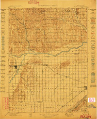
1899 · St. Paul
USGS Topo · 1:125,000
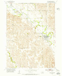
1954 · Cedar Rapids
USGS Topo · 1:24,000
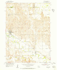
1954 · Spalding
USGS Topo · 1:24,000
1954 · Akron
USGS Topo · 1:24,000
1954 · Wolbach NE
USGS Topo · 1:24,000
1954 · Albion West
USGS Topo · 1:24,000
1954 · Belgrade
USGS Topo · 1:24,000
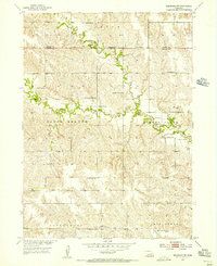
1954 · Belgrade NW
USGS Topo · 1:24,000
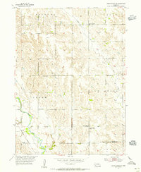
1954 · Cedar Rapids SE
USGS Topo · 1:24,000
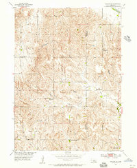
1954 · Spalding SE
USGS Topo · 1:24,000