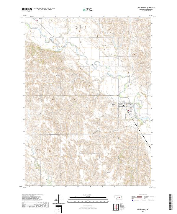
2021 Map of Cedar Rapids
USGS Topo · Published 2021About this map
Cedar Rapids and the small community of Primrose anchor this Boone County landscape, defined by the winding course of the Cedar River. The river valley serves as a primary geographic corridor, flanked by the Cedar River Trl and various section-line roads that organize the surrounding agricultural territory. A notable topographic landmark, Pilot Knob, rises above the northern reaches of the river, while several smaller waterways like Silver Valley Cr and N Br Timber Cr drain the undulating prairie. Local history is deeply etched into the townsite of Cedar Rapids, where several burial grounds including Saint Anthony Cem, Sunset Cem, and the nearby Sunrise Cem provide significant points of interest for genealogical research. The street grid of Cedar Rapids is clearly delineated, featuring thoroughfares such as W Main St, W Plum St, and W Dayton St which center the town's early 21st-century footprint.
Find a feature on this map
28 named features on this map. Tap any name to fly to it.
Don’t see what you’re looking for? This feature index may not catch every label — zoom into the map to look around manually.
Map Details
Editions of this 2021 Cedar Rapids Map
This is the sole edition of this map. No revisions or reprints were ever made.
Other maps of this area

1899 · St. Paul
USGS Topo · 1:125,000

1954 · Cedar Rapids
USGS Topo · 1:24,000

1954 · Spalding
USGS Topo · 1:24,000

1954 · Akron
USGS Topo · 1:24,000

1954 · Wolbach NE
USGS Topo · 1:24,000

1954 · Albion West
USGS Topo · 1:24,000

1954 · Belgrade
USGS Topo · 1:24,000

1954 · Belgrade NW
USGS Topo · 1:24,000

1954 · Cedar Rapids SE
USGS Topo · 1:24,000

1954 · Spalding SE
USGS Topo · 1:24,000