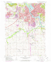
1967 Map of Cedar Rapids South
USGS Topo · Published 1976About this map
Cedar River dominates this mid-1970s view of south Cedar Rapids, where industrial corridors and residential expansion meet the waterway's islands and parks. The map captures a high density of civic and religious infrastructure, featuring numerous schools like St Ludmilla Sch and Prairie High Sch, alongside a cluster of distinct burial grounds including the Oak Hill Cemetery, Moslem Cemetery, and Bohemian Cemetery. To the south, the landscape transitions from the urban core toward the Cedar Rapids Municipal Airport and the smaller settlement at Konigsmark. The presence of multiple rail lines, including the Chicago Rock Island and Pacific and the Chicago Milwaukee St Paul and Pacific, underscores the city's role as a transportation hub. Notable features such as Hawkeye Downs Park and the Fairground indicate the area's development as a center for regional gathering and athletics during this era.
Find a feature on this map
101 named features on this map. Tap any name to fly to it.
Don’t see what you’re looking for? This feature index may not catch every label — zoom into the map to look around manually.
Map Details
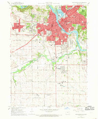
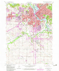
Editions of this 1967 Cedar Rapids South Map
3 editions found
Other maps of this area

1887 · Cedar Rapids
USGS Topo · 1:62,500

1888 · Shellsburg
USGS Topo · 1:62,500

1888 · Marion
USGS Topo · 1:62,500

1888 · Amana
USGS Topo · 1:62,500

1889 · Marion
USGS Topo · 1:62,500

1889 · Amana
USGS Topo · 1:62,500

1889 · Shellsburg
USGS Topo · 1:62,500

1891 · Cedar Rapids
USGS Topo · 1:62,500

1899 · Amana
USGS Topo · 1:62,500

1899 · Shellsburg
USGS Topo · 1:62,500
Featured Places
- Cedar Rapids, IA
- Summit, Cedar Rapids
- West Cedar Rapids, Cedar Rapids
- Worthington Acres, Cedar Rapids
- Linn County, IA