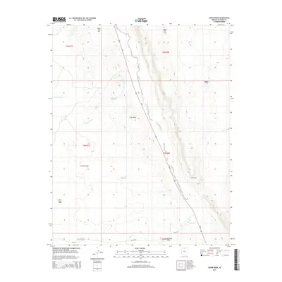
2014 Map of Cedar Ridge
USGS Topo · Published 2014About this map
Cedar Ridge sits as the primary settlement on this high desert landscape, positioned along the vital transportation corridor of Us-89. The map reveals a land defined by dramatic vertical relief and seasonal hydrology, where the massive Echo Cliffs and Kaibito Plateau dominate the eastern half of the survey area. These geological formations create a sharp contrast with the lower-lying drainage systems to the west, such as Shinumo Wash and Gray Spot Wash.
Find a feature on this map
21 named features on this map. Tap any name to fly to it.
Don’t see what you’re looking for? This feature index may not catch every label — zoom into the map to look around manually.
Map Details
Editions of this 2014 Cedar Ridge Map
This is the sole edition of this map. No revisions or reprints were ever made.
Other maps of this area
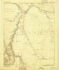
1886 · Echo Cliffs
USGS Topo · 1:250,000
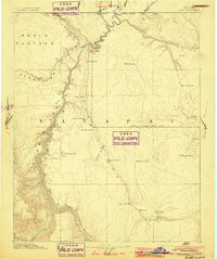
1891 · Echo Cliffs
USGS Topo · 1:250,000
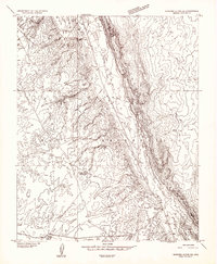
1954 · Shinumo Altar NE
USGS Topo · 1:24,000
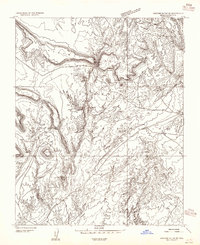
1954 · Shinumo Altar SE
USGS Topo · 1:24,000
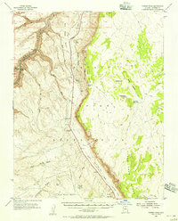
1954 · Tanner Wash
USGS Topo · 1:62,500
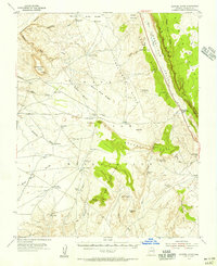
1954 · Shinumo Altar
USGS Topo · 1:62,500

1956 · Marble Canyon
USGS Topo · 1:250,000
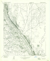
1957 · The Gap SW
USGS Topo · 1:24,000

1959 · Marble Canyon
USGS Topo · 1:250,000

1961 · Marble Canyon
USGS Topo · 1:250,000