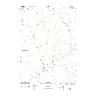
2010 Map of Cedar Run
USGS Topo · Published 2010About this map
Pine Creek carves a deep path through Tioga County, defining the landscape of this survey near the Pennsylvania Grand Canyon. The settlement of Cedar Run sits at the junction of Beulah Land Rd and Beach Rd, serving as a central point along the water's winding course. Further north, the village of Blackwell marks the confluence where Babb Creek joins the main flow, while the small community of Leetonia remains tucked away along Leetonia Rd in the western reaches of the quadrangle.
Find a feature on this map
77 named features on this map. Tap any name to fly to it.
Don’t see what you’re looking for? This feature index may not catch every label — zoom into the map to look around manually.
Map Details
Editions of this 2010 Cedar Run Map
This is the sole edition of this map. No revisions or reprints were ever made.
Other maps of this area

1937 · Waterville
USGS Topo · 1:48,000

1943 · Hyner
USGS Topo · 1:62,500

1943 · Waterville
USGS Topo · 1:62,500

1946 · Tiadaghton
USGS Topo · 1:24,000

1946 · Antrim
USGS Topo · 1:62,500

1946 · Renovo East
USGS Topo · 1:62,500

1946 · Cedar Run
USGS Topo · 1:24,000

1946 · Slate Run
USGS Topo · 1:24,000

1946 · Antrim
USGS Topo · 1:24,000

1946 · Morris
USGS Topo · 1:24,000