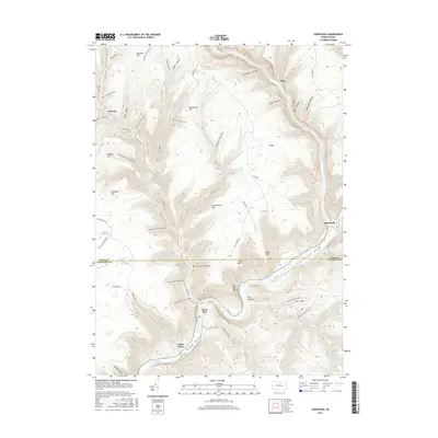
2016 Map of Cedar Run
USGS Topo · Published 2016About this map
Pine Creek Gorge dominates this northern Pennsylvania landscape, carving a deep canyon through the plateau at the border of Tioga Co and Lycoming Co. The winding waterway of Pine Creek is flanked by steep terrain and dramatic overlooks like The Narrows and Bull Run Point. Small settlements such as Cedar Run and Blackwell are situated at the narrow valley floor, where the confluence of side streams like Babb Creek and Bohen Run created limited space for habitation and transport.
Find a feature on this map
86 named features on this map. Tap any name to fly to it.
Don’t see what you’re looking for? This feature index may not catch every label — zoom into the map to look around manually.
Map Details
Editions of this 2016 Cedar Run Map
This is the sole edition of this map. No revisions or reprints were ever made.
Other maps of this area

1937 · Waterville
USGS Topo · 1:48,000

1943 · Hyner
USGS Topo · 1:62,500

1943 · Waterville
USGS Topo · 1:62,500

1946 · Tiadaghton
USGS Topo · 1:24,000

1946 · Antrim
USGS Topo · 1:62,500

1946 · Renovo East
USGS Topo · 1:62,500

1946 · Cedar Run
USGS Topo · 1:24,000

1946 · Slate Run
USGS Topo · 1:24,000

1946 · Antrim
USGS Topo · 1:24,000

1946 · Morris
USGS Topo · 1:24,000