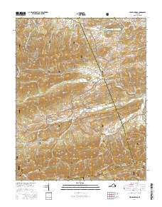
2016 Map of Cedar Springs
USGS Topo · Published 2016About this map
Jefferson National Forest dominates the southwestern Virginia landscape in this detailed study of Wythe, Smyth, and Grayson counties. The terrain is defined by the high ridges of Glade Mtn and White Rock Mtn, where the Appalachian National Scenic Trail traverses the western peaks near Locust Mtn. In the valleys, the rural character of the area is anchored by the small settlements of Fairview and Cedar Springs, connected by a network of winding roads like Cedar Springs Rd and Rte 615.
Find a feature on this map
106 named features on this map. Tap any name to fly to it.
Don’t see what you’re looking for? This feature index may not catch every label — zoom into the map to look around manually.
Map Details
Editions of this 2016 Cedar Springs Map
This is the sole edition of this map. No revisions or reprints were ever made.
Other maps of this area
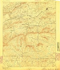
1889 · Wytheville
USGS Topo · 1:125,000
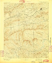
1892 · Wytheville
USGS Topo · 1:125,000
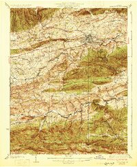
1930 · Speedwell
USGS Topo · 1:62,500
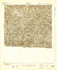
1930 · Independence
USGS Topo · 1:48,000
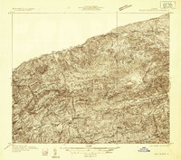
1931 · Rural Retreat
USGS Topo · 1:48,000
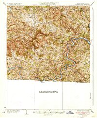
1933 · Independence
USGS Topo · 1:62,500
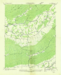
1935 · Nebo
USGS Topo · 1:24,000
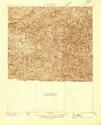
1935 · Mouth of Wilson
USGS Topo · 1:48,000
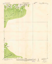
1935 · Cedar Springs
USGS Topo · 1:24,000
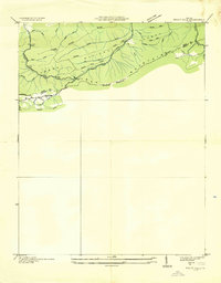
1935 · Trout Dale
USGS Topo · 1:24,000