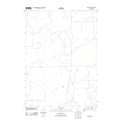
2012 Map of Cedar Top
USGS Topo · Published 2012About this map
Cedar Top and Pin Top anchor this high-plains landscape in Niobrara County, where the terrain is defined by isolated summits and ephemeral drainages. The 2012 survey illustrates a sparse network of county roads, including Meadowdale Rd and Patten Creek Rd, which provide access to this rural grazing country. Distinctive landforms such as Sheep Mountain and the uniquely named Horse Tooth stand out against the drainage systems of Spanish Creek and Willow Creek. A notable hydrological feature, Spouting Spring, suggests the presence of subterranean water sources in an otherwise arid environment. The map details the minimal human footprint of the early twenty-first century, showing how ranchers and land managers navigated the breaks and coulees surrounding Cottonwood Creek.
Find a feature on this map
12 named features on this map. Tap any name to fly to it.
Don’t see what you’re looking for? This feature index may not catch every label — zoom into the map to look around manually.
Map Details
Editions of this 2012 Cedar Top Map
This is the sole edition of this map. No revisions or reprints were ever made.
Other maps of this area

1896 · Hartville
USGS Topo · 1:125,000

1901 · Hartville
USGS Topo · 1:125,000

1949 · Cedar Top
USGS Topo · 1:24,000

1950 · Amend Ranch
USGS Topo · 1:24,000

1950 · Cedar Top
USGS Topo · 1:24,000

1950 · Prairie View School
USGS Topo · 1:24,000

1950 · Jewel Springs
USGS Topo · 1:24,000

1950 · Haushar Ranch
USGS Topo · 1:24,000

1950 · Hell Gap
USGS Topo · 1:24,000

1951 · Haushar Ranch
USGS Topo · 1:24,000