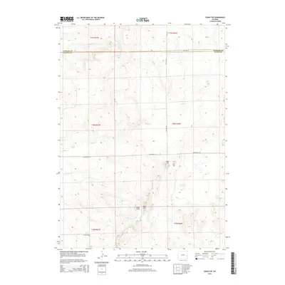
2015 Map of Cedar Top
USGS Topo · Published 2015About this map
Sheep Mtn and Horse Tooth dominate the southern portion of this high-plains landscape where Niobrara and Platte counties meet. The terrain is defined by its drainage systems and notable peaks, including the central summit of Cedar Top and nearby Pin Top. Water sources are sparse but critical, marked by the presence of Spouting Spring and several seasonal watercourses like Spanish Creek, Willow Creek, and Cottonwood Creek.
Find a feature on this map
19 named features on this map. Tap any name to fly to it.
Don’t see what you’re looking for? This feature index may not catch every label — zoom into the map to look around manually.
Map Details
Editions of this 2015 Cedar Top Map
This is the sole edition of this map. No revisions or reprints were ever made.
Other maps of this area
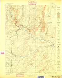
1896 · Hartville
USGS Topo · 1:125,000
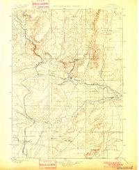
1901 · Hartville
USGS Topo · 1:125,000
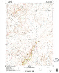
1949 · Cedar Top
USGS Topo · 1:24,000
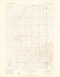
1950 · Amend Ranch
USGS Topo · 1:24,000
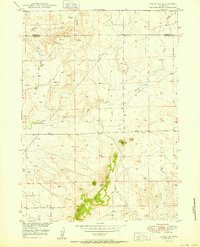
1950 · Cedar Top
USGS Topo · 1:24,000
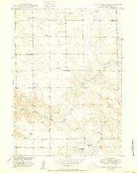
1950 · Prairie View School
USGS Topo · 1:24,000
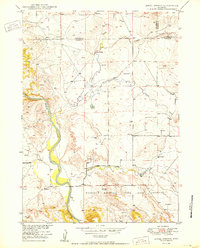
1950 · Jewel Springs
USGS Topo · 1:24,000
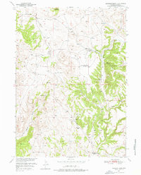
1950 · Haushar Ranch
USGS Topo · 1:24,000
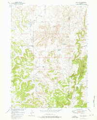
1950 · Hell Gap
USGS Topo · 1:24,000
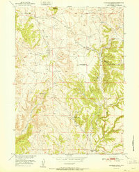
1951 · Haushar Ranch
USGS Topo · 1:24,000