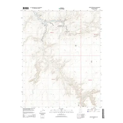
2014 Map of Cedar Tree Bench
USGS Topo · Published 2014About this map
Glen Canyon National Recreation Area dominates the northern reaches of this landscape, where the waters of Lake Powell intersect with deep drainage systems in Coconino County. The map details a complex network of seasonal watercourses and desert topography, including the winding Chaol Canyon and the broad elevation of Cedar Tree Bench. This 2014 survey illustrates the hydrologic connection between the high plateaus and the lake, tracing the paths of Navajo Cr, Kaibito Cr, and Peach Wash as they carve through the arid terrain. While the area is largely defined by its natural features, landmarks such as Red Bluff and Small Butte serve as distinct navigational points within the extensive township and range system. The transition from high-desert washes like Starting Water Wash to the permanent reservoir of the Colorado River system highlights the environmental contrast of this protected Arizona corridor.
Find a feature on this map
15 named features on this map. Tap any name to fly to it.
Don’t see what you’re looking for? This feature index may not catch every label — zoom into the map to look around manually.
Map Details
Editions of this 2014 Cedar Tree Bench Map
This is the sole edition of this map. No revisions or reprints were ever made.
Other maps of this area
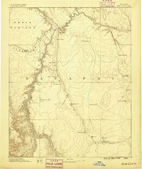
1886 · Echo Cliffs
USGS Topo · 1:250,000
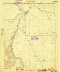
1891 · Echo Cliffs
USGS Topo · 1:250,000
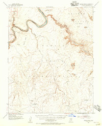
1954 · Leche-E Rock
USGS Topo · 1:62,500
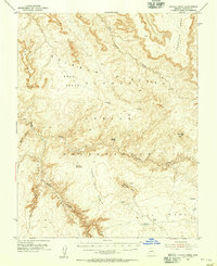
1954 · Navajo Creek
USGS Topo · 1:62,500

1956 · Marble Canyon
USGS Topo · 1:250,000

1959 · Marble Canyon
USGS Topo · 1:250,000

1961 · Marble Canyon
USGS Topo · 1:250,000
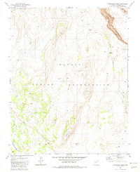
1981 · Horsethief Mesa
USGS Topo · 1:24,000
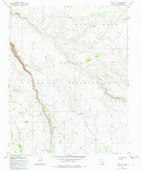
1982 · White Hill
USGS Topo · 1:24,000
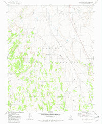
1982 · Many Ghosts Hill
USGS Topo · 1:24,000