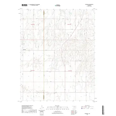
2018 Map of Cedardale
USGS Topo · Published 2018About this map
Cedardale sits along the section line grid of Northwest Oklahoma, where the landscape is defined by the headwaters and branches of the Cimarron River watershed. This survey illustrates a classic prairie settlement pattern, where the township and range lines dictate the placement of local infrastructure. The small community is anchored by the Cedardale Cem, while to the northeast, the Liberty Cem serves the rural population near the border where Woodward Co meets Major County.
Find a feature on this map
35 named features on this map. Tap any name to fly to it.
Don’t see what you’re looking for? This feature index may not catch every label — zoom into the map to look around manually.
Map Details
Editions of this 2018 Cedardale Map
This is the sole edition of this map. No revisions or reprints were ever made.
Other maps of this area
1955 · Woodward
USGS Topo · 1:250,000
1958 · Woodward
USGS Topo · 1:250,000
1969 · Mooreland SE
USGS Topo · 1:24,000
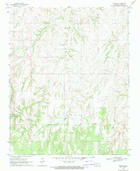
1969 · Phroso
USGS Topo · 1:24,000
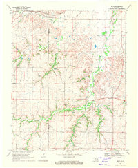
1969 · Belva
USGS Topo · 1:24,000
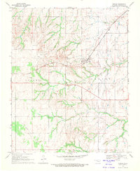
1969 · Quinlan
USGS Topo · 1:24,000
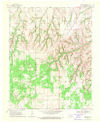
1969 · Cedardale
USGS Topo · 1:24,000
1969 · Togo
USGS Topo · 1:24,000
1969 · Mutual NE
USGS Topo · 1:24,000
1972 · Seiling
USGS Topo · 1:24,000