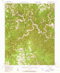
1951 Map of Cedargrove
USGS Topo · Published 1963About this map
Montauk and the upper reaches of the Current River define this rural landscape in the early 1950s, where tight-knit communities are anchored by an extensive network of country schools and churches. The map documents a period when local education was highly localized, evidenced by numerous one-room schoolhouses such as Lower Hepsida School, Round Valley School, and Lewis Hollow School. Social life appears centered around landmarks like the Street Chapel and Jadwin Church, while the region's unique karst topography is revealed through features like Welch Spring and Lancaster Cave. Near Hartshorn, the Hartshorn Lookout Tower stands as a sentinel over the heavily wooded terrain of the Ozarks. The map also traces the winding paths of Pigeon Creek and Ashley Creek, illustrating how early settlements followed the natural drainage of the hills.
Find a feature on this map
50 named features on this map. Tap any name to fly to it.
Don’t see what you’re looking for? This feature index may not catch every label — zoom into the map to look around manually.
Map Details
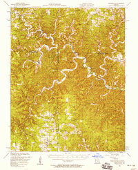
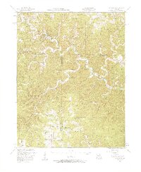
Editions of this 1951 Cedargrove Map
3 editions found
Other maps of this area

1915 · Eminence
USGS Topo · 1:62,500

1917 · Eminence
USGS Topo · 1:62,500

1932 · Cedar Grove
USGS Topo · 1:48,000

1937 · Edgar Springs
USGS Topo · 1:48,000

1941 · Salem
USGS Topo · 1:62,500

1941 · Stone Hill
USGS Topo · 1:62,500

1945 · Salem
USGS Topo · 1:62,500

1945 · Edgar Springs
USGS Topo · 1:62,500

1945 · Stone Hill
USGS Topo · 1:62,500

1945 · Round Spring
USGS Topo · 1:62,500