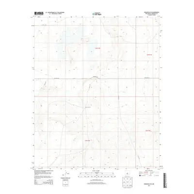
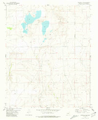
2013 Map of Cedarvale NE
USGS Topo · Published 2013About this map
Going Thing Ranch stands as a primary point of reference in this high-desert landscape of central New Mexico. The terrain is defined by a series of low ridges and depressions, characteristic of the Estancia Basin's eastern margins, where drainage patterns are often subtle and localized. This 2013 survey illustrates the sparse road network that connects these ranchlands, primarily served by Pinos Wells Rd.
Find a feature on this map
10 named features on this map. Tap any name to fly to it.
Don’t see what you’re looking for? This feature index may not catch every label — zoom into the map to look around manually.
Map Details
Editions of this 2013 Cedarvale NE Map
This is the sole edition of this map. No revisions or reprints were ever made.
Other maps of this area

1954 · Fort Sumner
USGS Topo · 1:250,000

1958 · Fort Sumner
USGS Topo · 1:250,000
1978 · Negra SW
USGS Topo · 1:24,000
1978 · Negra SE
USGS Topo · 1:24,000
1978 · Dunlap Ranch
USGS Topo · 1:24,000
1980 · Corona
USGS Topo · 1:100,000
1981 · Pino Mountain
USGS Topo · 1:24,000
1981 · Camaleon Draw West
USGS Topo · 1:24,000
1981 · Duran
USGS Topo · 1:24,000
1981 · Cedarvale NE
USGS Topo · 1:24,000