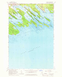
1964 Map of Cedarville
USGS Topo · Published 1966About this map
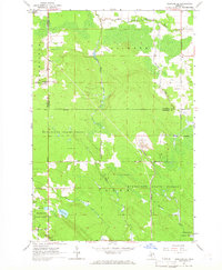
The coastal village of Cedarville serves as the gateway to the intricate archipelago of the Les Cheneaux Islands in this mid-1960s study of Michigan’s Upper Peninsula shoreline. The map reveals a landscape defined by deep-water channels and protected bays, including Cedarville Bay and Muscallonge Bay, which shaped the area’s maritime character. Large landmasses like La Salle Island and Marquette Island dominate the foreground of Lake Huron, separated by narrow passages such as the Bosely Channel and Middle Entrance.
Find a feature on this map
67 named features on this map. Tap any name to fly to it.
Don’t see what you’re looking for? This feature index may not catch every label — zoom into the map to look around manually.
Map Details
Editions of this 1964 Cedarville Map
2 editions found
Other maps of this area

1931 · Pickford SE
USGS Topo · 1:31,680

1954 · Sault Sainte Marie
USGS Topo · 1:250,000

1955 · Cheboygan
USGS Topo · 1:250,000

1956 · Sault Sainte Marie
USGS Topo · 1:250,000

1957 · Sault Sainte Marie
USGS Topo · 1:250,000

1958 · Cheboygan
USGS Topo · 1:250,000

1958 · Sault Sainte Marie
USGS Topo · 1:250,000
1964 · Stalwart
USGS Topo · 1:24,000
1964 · Prentiss Bay
USGS Topo · 1:24,000
1964 · Pickford SE
USGS Topo · 1:24,000