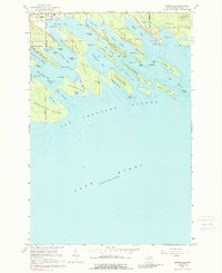
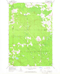
1964 Map of Cedarville
USGS Topo · Published 1989About this map
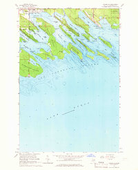
Cedarville serves as the gateway to the intricate maritime landscape of the Les Cheneaux Islands in the mid-1960s. This survey details a complex network of channels and bays, including Les Cheneaux Channel and Muscallonge Bay, which define the passage between the mainland and large landmasses like La Salle Island and Marquette Island. To the east, the industrial character of the Upper Peninsula is evident at Port Dolomite, where an Industrial Railroad terminates near several gravel pits and a gaging station. Much of the northern terrain is managed under the Munuscong State Forest, while southern islands such as Government Island fall within the Hiawatha National Forest. The map documents numerous family-named points and landings, such as Patrick Landing, Melchers Point, and Arnold Point, which suggest the area's long-standing history as a coastal retreat and timber hub.
Find a feature on this map
67 named features on this map. Tap any name to fly to it.
Don’t see what you’re looking for? This feature index may not catch every label — zoom into the map to look around manually.
Map Details
Editions of this 1964 Cedarville Map
2 editions found
Other maps of this area

1931 · Pickford SE
USGS Topo · 1:31,680

1954 · Sault Sainte Marie
USGS Topo · 1:250,000

1955 · Cheboygan
USGS Topo · 1:250,000

1956 · Sault Sainte Marie
USGS Topo · 1:250,000

1957 · Sault Sainte Marie
USGS Topo · 1:250,000

1958 · Cheboygan
USGS Topo · 1:250,000

1958 · Sault Sainte Marie
USGS Topo · 1:250,000
1964 · Stalwart
USGS Topo · 1:24,000
1964 · Prentiss Bay
USGS Topo · 1:24,000
1964 · Pickford SE
USGS Topo · 1:24,000