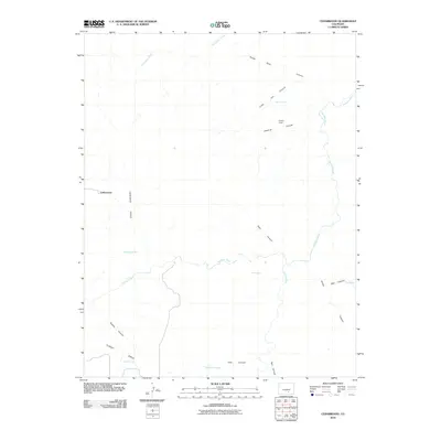
2010 Map of Cedarwood
USGS Topo · Published 2010About this map
Cedarwood marks the western edge of this Colorado high-plains landscape, where the confluence of hydrological and topographical features creates a distinct drainage pattern toward the Huerfano River. The river winds across the central section of the map, joined by the Cucharas River and fed by intermittent water sources such as Goat Butte Creek. The terrain is deeply incised by a series of drainages, including the evocatively named Horse Thief Canyon, Little Joe Canyon, and Poleline Canyon.
Find a feature on this map
22 named features on this map. Tap any name to fly to it.
Don’t see what you’re looking for? This feature index may not catch every label — zoom into the map to look around manually.
Map Details
Editions of this 2010 Cedarwood Map
This is the sole edition of this map. No revisions or reprints were ever made.
Other maps of this area

1891 · Walsenburg
USGS Topo · 1:125,000

1891 · Pueblo
USGS Topo · 1:125,000

1891 · Nepesta
USGS Topo · 1:125,000

1891 · Apishapa
USGS Topo · 1:125,000

1893 · Nepesta
USGS Topo · 1:125,000

1893 · Apishapa
USGS Topo · 1:125,000

1894 · Walsenburg
USGS Topo · 1:125,000

1894 · Pueblo
USGS Topo · 1:125,000

1896 · Pueblo
USGS Topo · 1:125,000

1897 · Pueblo
USGS Topo · 1:125,000