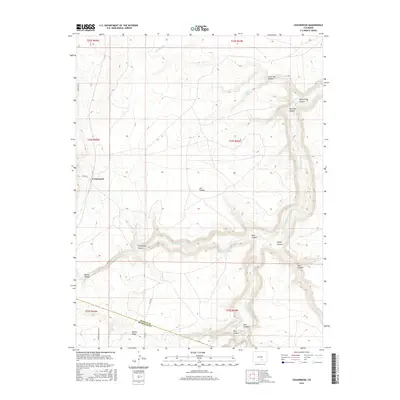
2016 Map of Cedarwood
USGS Topo · Published 2016About this map
Cedarwood serves as the primary landmark in this section of the Colorado high plains, situated where the high country begins its descent into a complex network of drainage systems. The landscape is defined by the winding course of the Huerfano River and the Cucharas River, which have carved deep features such as Horse Thief Canyon and Cedarwood Canyon into the terrain. This area, marking the boundary between Pueblo Co and Huerfano Co, reflects a ranching and rural character where water sources are vital. Named springs like Bustos Spring, Edmondson Spring, and Point Spring are scattered throughout the draws, indicating the historical importance of reliable water for livestock and early inhabitants. Elevation landmarks such as Turkey Ridge provide a topographical anchor for the surrounding canyons, including Estic Canyon and Bull Canyon.
Find a feature on this map
33 named features on this map. Tap any name to fly to it.
Don’t see what you’re looking for? This feature index may not catch every label — zoom into the map to look around manually.
Map Details
Editions of this 2016 Cedarwood Map
This is the sole edition of this map. No revisions or reprints were ever made.
Other maps of this area

1891 · Walsenburg
USGS Topo · 1:125,000

1891 · Pueblo
USGS Topo · 1:125,000

1891 · Nepesta
USGS Topo · 1:125,000

1891 · Apishapa
USGS Topo · 1:125,000

1893 · Nepesta
USGS Topo · 1:125,000

1893 · Apishapa
USGS Topo · 1:125,000

1894 · Walsenburg
USGS Topo · 1:125,000

1894 · Pueblo
USGS Topo · 1:125,000

1896 · Pueblo
USGS Topo · 1:125,000

1897 · Pueblo
USGS Topo · 1:125,000