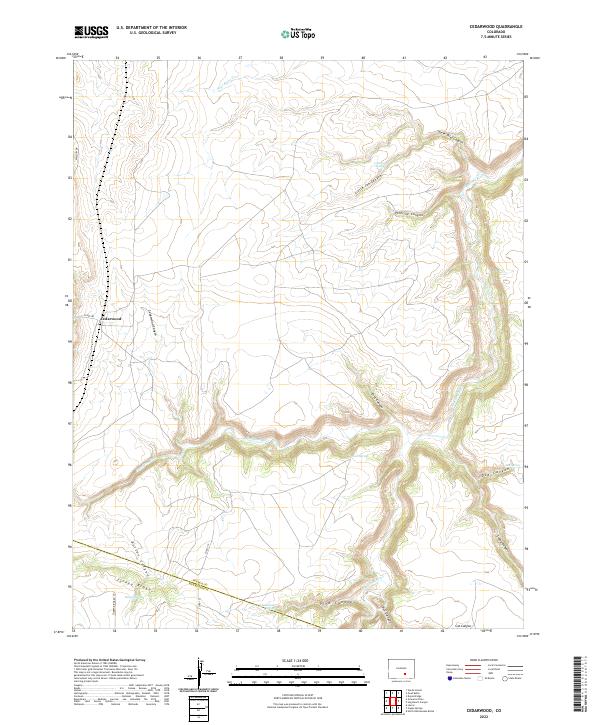
2022 Map of Cedarwood
USGS Topo · Published 2022About this map
Cedarwood serves as the primary landmark in this region of southern Colorado, situated where Co Rd 342 meets the upper reaches of Cedarwood Canyon. The landscape is defined by the significant drainage networks of the Huerfano River and the Cucharas River, which have carved a complex system of deep incisions into the high plains. These canyons, including Horse Thief Canyon and Pipeline Canyon, reveal a terrain shaped by water in a semi-arid environment, further evidenced by named water sources like Bustos Spring and Point Spring. The map documents the boundary between Pueblo and Huerfano counties as it traverses the southern section near Turkey Ridge. This area shows a sparse settlement pattern dominated by topographic features and named canyons, reflecting the traditional ranching and open-range character of the Colorado plateau.
Find a feature on this map
33 named features on this map. Tap any name to fly to it.
Don’t see what you’re looking for? This feature index may not catch every label — zoom into the map to look around manually.
Map Details
Editions of this 2022 Cedarwood Map
This is the sole edition of this map. No revisions or reprints were ever made.
Other maps of this area

1891 · Walsenburg
USGS Topo · 1:125,000

1891 · Pueblo
USGS Topo · 1:125,000

1891 · Nepesta
USGS Topo · 1:125,000

1891 · Apishapa
USGS Topo · 1:125,000

1893 · Nepesta
USGS Topo · 1:125,000

1893 · Apishapa
USGS Topo · 1:125,000

1894 · Walsenburg
USGS Topo · 1:125,000

1894 · Pueblo
USGS Topo · 1:125,000

1896 · Pueblo
USGS Topo · 1:125,000

1897 · Pueblo
USGS Topo · 1:125,000