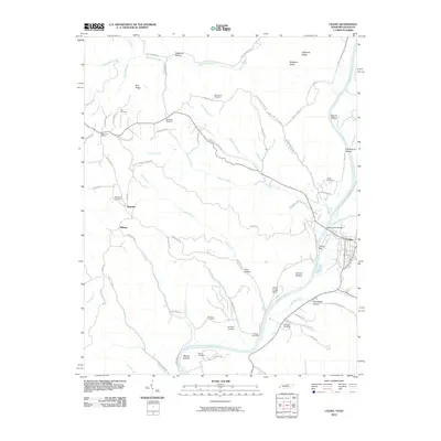
2010 Map of Celina
USGS Topo · Published 2010About this map
The Cumberland River and its confluence with the Obey River anchor the town of Celina, shown here in the first decade of the 21st century. The river system remains the central geographic feature, bordered by fertile reaches like Stones Bottom and Weaver Bottom, while the surrounding terrain is defined by complex ridges including Owl Ridge and Stephens Ridge. The Henry Horton Bridge serves as a critical river crossing near the town center, connecting the valley's established settlements with the winding rural routes that traverse the highlands.
Find a feature on this map
73 named features on this map. Tap any name to fly to it.
Don’t see what you’re looking for? This feature index may not catch every label — zoom into the map to look around manually.
Map Details
Editions of this 2010 Celina Map
This is the sole edition of this map. No revisions or reprints were ever made.
Other maps of this area

1897 · Standingstone
USGS Topo · 1:125,000

1898 · Standingstone
USGS Topo · 1:125,000

1924 · Lillydale
USGS Topo · 1:62,500

1925 · Gainesboro
USGS Topo · 1:62,500

1926 · Lillydale
USGS Topo · 1:62,500

1929 · Lillydale
USGS Topo · 1:62,500

1929 · Gainesboro
USGS Topo · 1:62,500

1929 · Tompkinsville
USGS Topo · 1:62,500

1954 · Blacks Ferry
USGS Topo · 1:24,000

1954 · Tompkinsville
USGS Topo · 1:24,000