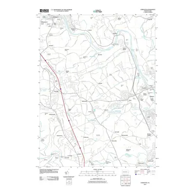
2010 Map of Cementon
USGS Topo · Published 2010About this map
The Lehigh River valley serves as the central corridor for this 2010 survey, illustrating a landscape defined by industrial history and preserved crossings. Settlement patterns are concentrated along the riverbanks and rail lines, with established communities like Slatington and Laurys Station punctuating the valley. A series of hydraulic structures including the Treichlers Dam, Number Four Dam, and Old Laury Dam reveal the engineering legacy of the river's management.
Find a feature on this map
164 named features on this map. Tap any name to fly to it.
Don’t see what you’re looking for? This feature index may not catch every label — zoom into the map to look around manually.
Map Details
Editions of this 2010 Cementon Map
This is the sole edition of this map. No revisions or reprints were ever made.
Other maps of this area

1894 · Allentown
USGS Topo · 1:62,500

1902 · Slatington
USGS Topo · 1:62,500

1914 · Wind Gap
USGS Topo · 1:62,500

1916 · Wind Gap
USGS Topo · 1:62,500

1922 · Mauch Chunk
USGS Topo · 1:62,500

1924 · Mauch Chunk
USGS Topo · 1:62,500

1937 · Allentown West
USGS Topo · 1:48,000

1939 · Allentown
USGS Topo · 1:62,500

1942 · Allentown West
USGS Topo · 1:62,500

1943 · Mauch Chunk
USGS Topo · 1:62,500
Featured Places
- Slatington, PA
- Egypt, Whitehall
- Cementon, Whitehall
- Balliettsville, North Whitehall Township
- Unionville, North Whitehall Township