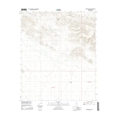
2014 Map of Cementosa Wash
USGS Topo · Published 2014About this map
The Little Horn Mountains dominate the northern landscape of this Yuma County region, where the desert terrain is defined by a complex network of ephemeral drainages and rocky outcrops. The presence of the Conflagration Arch suggests a geologic point of interest within these peaks, while the low-lying southern section opens into the Palomas Plain. Human movement through this arid environment is tied to established routes like Hovatter Rd and Sheep Tank Mine Rd, which historically connected scattered water sources and mining prospects.
Find a feature on this map
17 named features on this map. Tap any name to fly to it.
Don’t see what you’re looking for? This feature index may not catch every label — zoom into the map to look around manually.
Map Details
Editions of this 2014 Cementosa Wash Map
This is the sole edition of this map. No revisions or reprints were ever made.
Other maps of this area

1942 · Vicksburg
USGS Topo · 1:250,000

1954 · Phoenix
USGS Topo · 1:250,000

1957 · Phoenix
USGS Topo · 1:250,000

1958 · Phoenix
USGS Topo · 1:250,000

1960 · Phoenix
USGS Topo · 1:250,000

1962 · Little Horn Mts
USGS Topo · 1:62,500

1962 · Kofa Butte
USGS Topo · 1:62,500
1965 · Engesser Pass
USGS Topo · 1:62,500
1965 · Palomas Mts
USGS Topo · 1:62,500

1969 · Phoenix
USGS Topo · 1:250,000