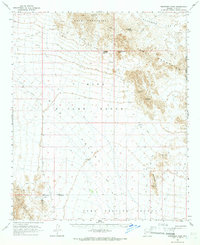
1965 Map of Engesser Pass
USGS Topo · Published 1966About this map
Engesser Pass serves as a critical desert corridor between the Kofa Mountains and the Tank Mountains in this mid-1960s topographic study. The landscape is defined by its transition from high volcanic peaks like Courthouse Mtn and Black Dome down into the expansive Palomas Plain. Human activity in this arid environment is tied to resource extraction and government land management, evidenced by the Engesser Mine and numerous prospects. The map details a network of jeep trails and vital water catchments such as Charlie Died Tank and Frenchman Tank, which were essential for miners and ranchers. This period captures the intersection of the Kofa Game Range with the expanding Yuma Proving Ground, illustrating how the territory was partitioned for both conservation and military testing.
Find a feature on this map
23 named features on this map. Tap any name to fly to it.
Don’t see what you’re looking for? This feature index may not catch every label — zoom into the map to look around manually.
Map Details
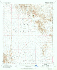
Editions of this 1965 Engesser Pass Map
2 editions found
Other maps of this area

1928 · Norton
USGS Topo · 1:62,500

1929 · Norton
USGS Topo · 1:62,500

1930 · Stoval
USGS Topo · 1:62,500

1942 · Yuma
USGS Topo · 1:250,000

1942 · Blythe
USGS Topo · 1:250,000

1942 · Vicksburg
USGS Topo · 1:250,000

1950 · Stoval
USGS Topo · 1:62,500

1953 · Ajo
USGS Topo · 1:250,000

1954 · El Centro
USGS Topo · 1:250,000

1954 · Salton Sea
USGS Topo · 1:250,000