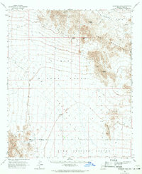
1965 Map of Engesser Pass
USGS Topo · Published 1971About this map
Engesser Mine and the Silver Prince Mine anchor this mid-1960s study of the arid interior mountains between the Kofa Mountains and the Tank Mountains. The landscape is defined by the intersection of mineral extraction and military geography, with the Kofa Game Range sharing its southern border with the Yuma Proving Ground. Transportation through this desert terrain relied on a network of unpaved routes, including the Wellton Kofa Road and Mohawk Road, which converge at Engesser Junction. Critical water sources like Middle Well, Charlie Died Tank, and Frenchman Tank illustrate the precarious nature of travel and resource extraction in the shadow of peaks such as Courthouse Mtn and Black Dome. The map captures a moment when the rugged Neversweat Ridge served as both a prospecting landmark and a boundary for restricted government lands.
Find a feature on this map
27 named features on this map. Tap any name to fly to it.
Don’t see what you’re looking for? This feature index may not catch every label — zoom into the map to look around manually.
Map Details
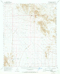
Editions of this 1965 Engesser Pass Map
2 editions found
Other maps of this area

1928 · Norton
USGS Topo · 1:62,500

1929 · Norton
USGS Topo · 1:62,500

1930 · Stoval
USGS Topo · 1:62,500

1942 · Yuma
USGS Topo · 1:250,000

1942 · Blythe
USGS Topo · 1:250,000

1942 · Vicksburg
USGS Topo · 1:250,000

1950 · Stoval
USGS Topo · 1:62,500

1953 · Ajo
USGS Topo · 1:250,000

1954 · El Centro
USGS Topo · 1:250,000

1954 · Salton Sea
USGS Topo · 1:250,000