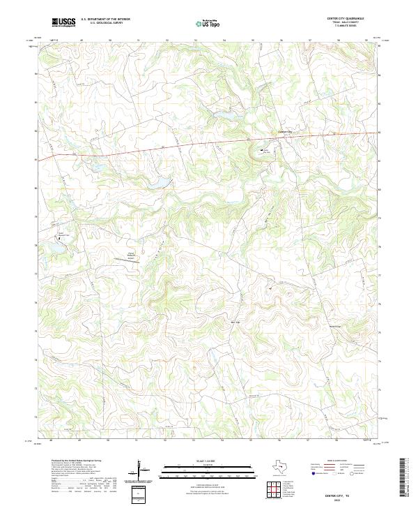
2022 Map of Center City
USGS Topo · Published 2022About this map
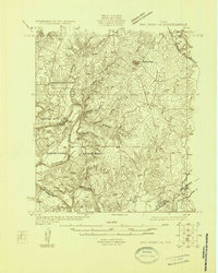
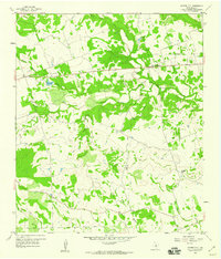
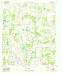
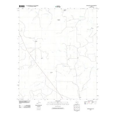
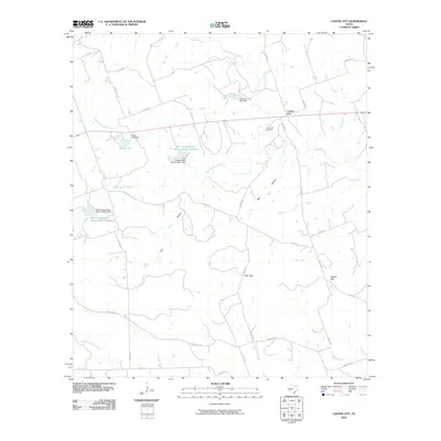
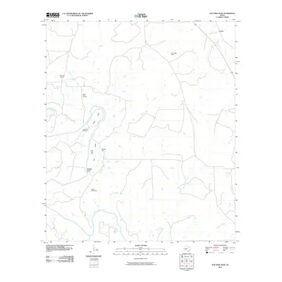
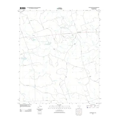
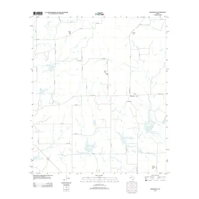
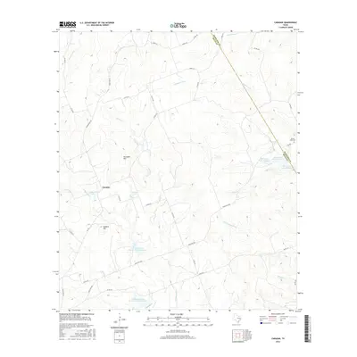
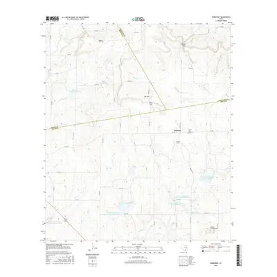
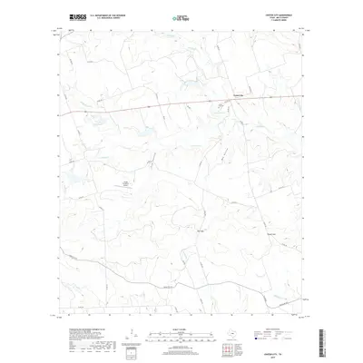
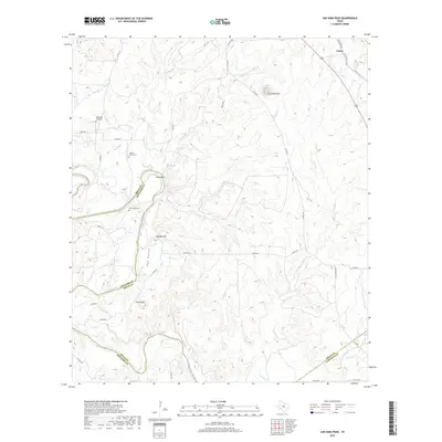
Center City stands as the primary settlement on this Central Texas landscape, situated along the upper reaches of a complex drainage network. The terrain is defined by its dramatic relief, marked by significant passages like Barr Gap and Russell Gap, and the deep incisions of Bee Hollow and Cub Hollow. Local genealogy is anchored by the Center City Cem and the more isolated South Bennett Cem to the southwest. Water resources are dominated by the branching forks of Bennett Creek, including N Bennett Cr, Middle Bennett Cr, and S Bennett Cr, which flow through the heart of the quadrangle toward Kemp Lake. The inclusion of the Flying 7H Ranch Airport illustrates the continued importance of private aviation in navigating the broad ranchlands of Mills County.
Find a feature on this map
47 named features on this map. Tap any name to fly to it.
Don’t see what you’re looking for? This feature index may not catch every label — zoom into the map to look around manually.
Map Details
Editions of this 2022 Center City Map
This is the sole edition of this map. No revisions or reprints were ever made.
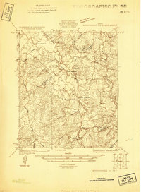
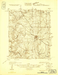
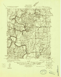
Historical Maps of Center City Through Time
65 maps found
1925 Brownwood 3-d
Mills County, TX
1925 Brownwood 4-c
Mills County, TX
1925 San Saba 1-b
Mills County, TX
1925 San Saba 1-d
Mills County, TX
1925 San Saba 2-a
Mills County, TX
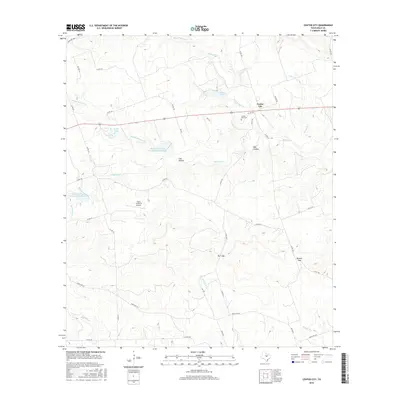
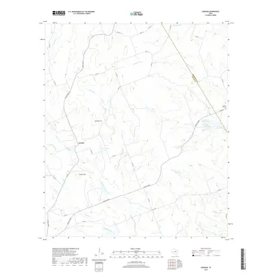
1956 Caradan
Mills County, TX
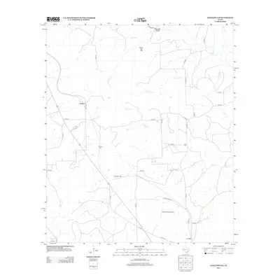
1959 Antelope Gap
Mills County, TX
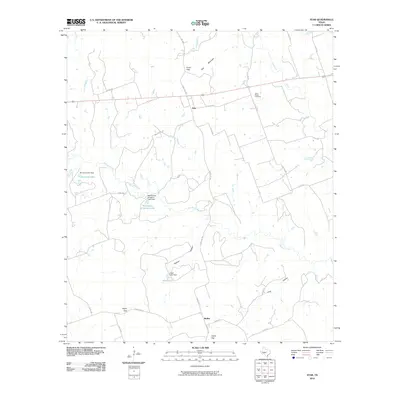
1959 Center City
Mills County, TX
1959 Star
Mills County, TX
1959 Star
Mills County, TX
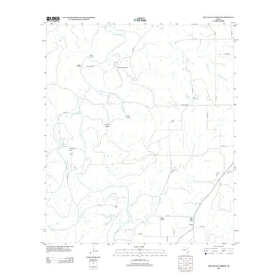
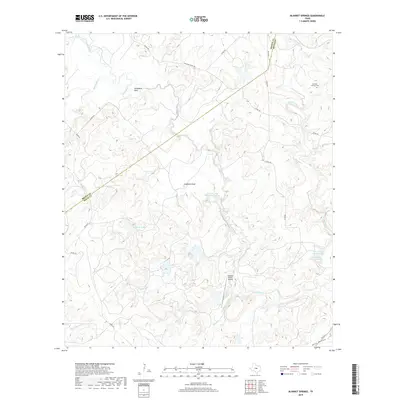
1979 Blanket Springs
Mills County, TX
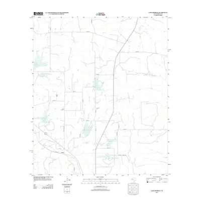
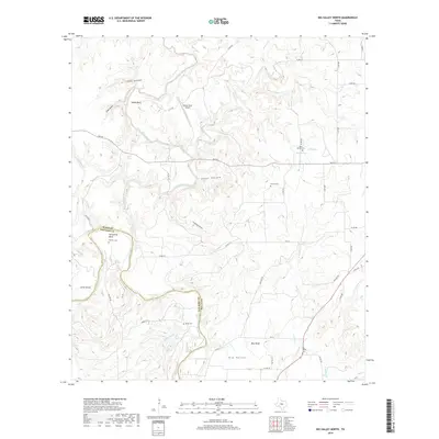
1979 Lake Merritt
Mills County, TX
1980 Big Valley North
Mills County, TX
1980 Regency
Mills County, TX
1980 San Saba Peak
Mills County, TX
2010 Antelope Gap
Mills County, TX
2010 Big Valley North
Mills County, TX
2010 Blanket Springs
Mills County, TX
2010 Caradan
Mills County, TX
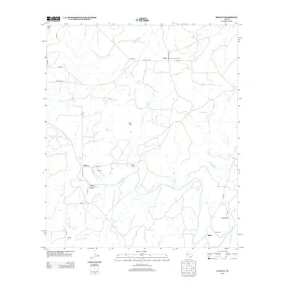
2010 Center City
Mills County, TX
2010 Democrat
Mills County, TX
2010 Lake Merritt
Mills County, TX
2010 Regency
Mills County, TX
2010 San Saba Peak
Mills County, TX
2010 Star
Mills County, TX
2012 Antelope Gap
Mills County, TX
2012 Big Valley North
Mills County, TX
2012 Blanket Springs
Mills County, TX
2012 Center City
Mills County, TX
2012 Regency
Mills County, TX

2012 Star
Mills County, TX
2013 Caradan
Mills County, TX
2013 Democrat
Mills County, TX
2013 Lake Merritt
Mills County, TX
2013 San Saba Peak
Mills County, TX
2016 Antelope Gap
Mills County, TX
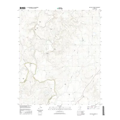
2016 Big Valley North
Mills County, TX
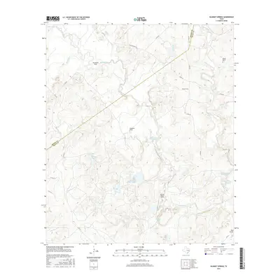
2016 Blanket Springs
Mills County, TX
2016 Caradan
Mills County, TX
2016 Center City
Mills County, TX
2016 Democrat
Mills County, TX
2016 Lake Merritt
Mills County, TX
2016 Regency
Mills County, TX
2016 San Saba Peak
Mills County, TX

2016 Star
Mills County, TX
2019 Antelope Gap
Mills County, TX
2019 Big Valley North
Mills County, TX
2019 Blanket Springs
Mills County, TX
2019 Caradan
Mills County, TX
2019 Center City
Mills County, TX
2019 Democrat
Mills County, TX
2019 Lake Merritt
Mills County, TX
2019 Regency
Mills County, TX
2019 San Saba Peak
Mills County, TX
2019 Star
Mills County, TX
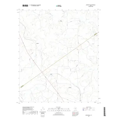
2022 Antelope Gap
Mills County, TX
2022 Big Valley North
Mills County, TX
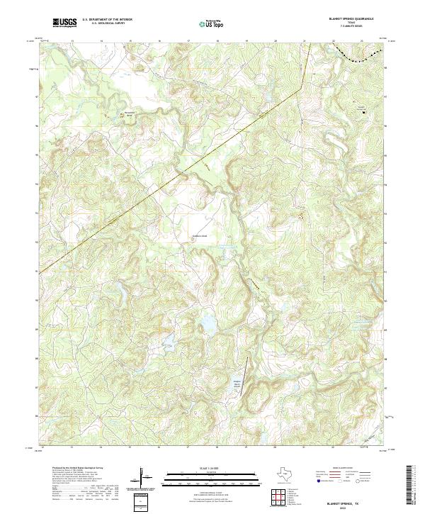
2022 Blanket Springs
Mills County, TX
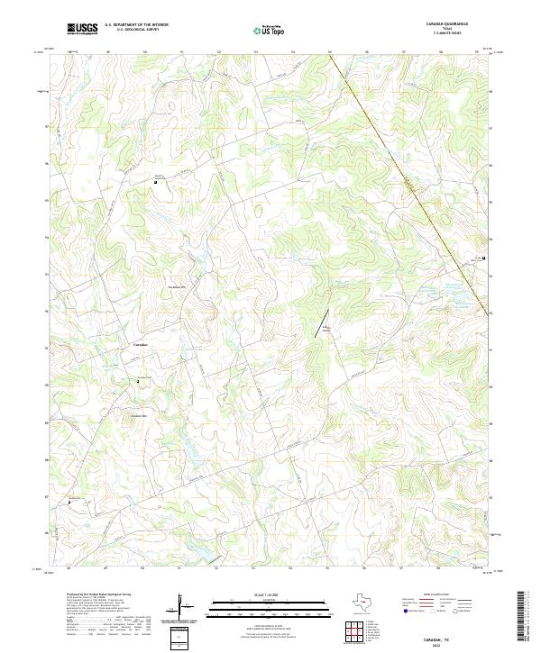
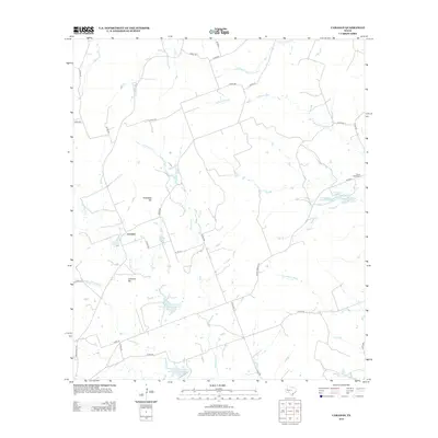
2022 Caradan
Mills County, TX
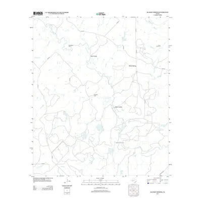
2022 Center City
Mills County, TX
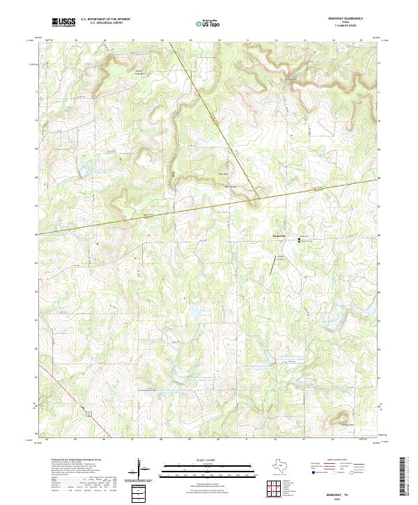
2022 Democrat
Mills County, TX
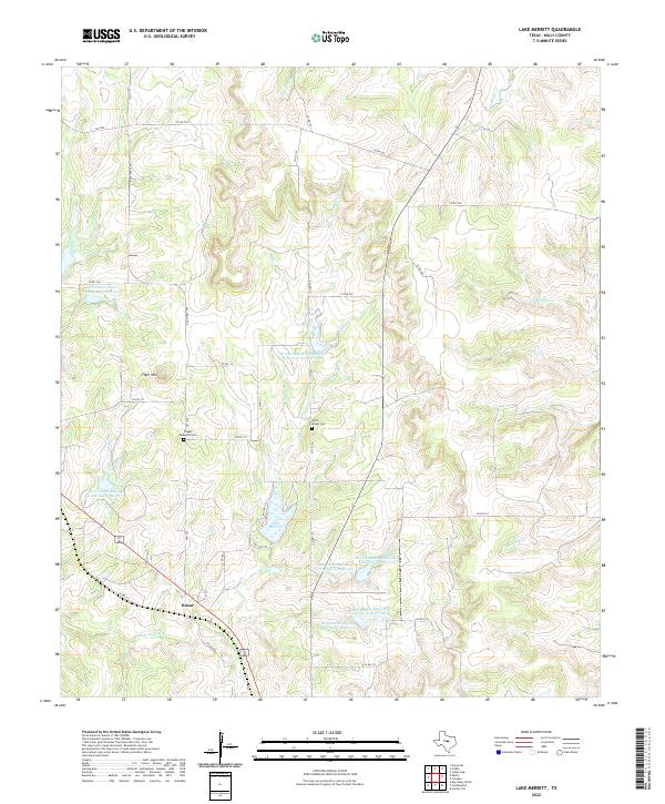
2022 Lake Merritt
Mills County, TX
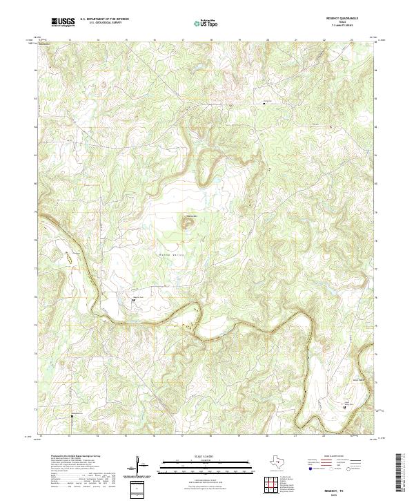
2022 Regency
Mills County, TX
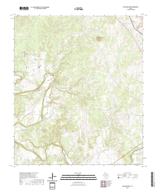
2022 San Saba Peak
Mills County, TX
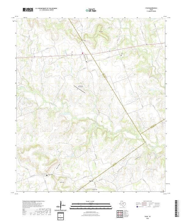
2022 Star
Mills County, TX