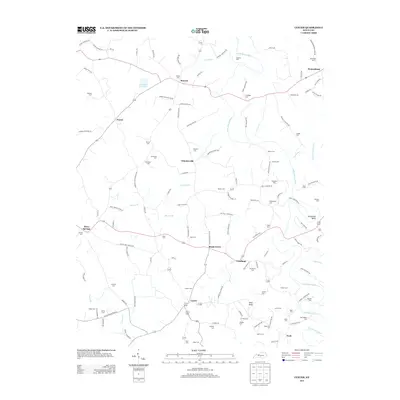
2013 Map of Center
USGS Topo · Published 2013About this map
The Little Barren River carves a winding path through this portion of Metcalfe County, defining the rural character of settlements like Shady Grove, Crailhope, and Center. The landscape is a network of small family-named cemeteries and crossroads communities, reflecting generations of land ownership and local genealogy. Distinctive terrain features such as Pilot Knob and the sharp turn at Horseshoe Bend break the undulating countryside. In the north, the Hundred Acre Pond sits near the small community of Pascal, while dozens of family burial grounds, including the Sydnor Cem, Davenport Cem, and McGlasson Cem, are tucked away along local routes like Oceola Trl and Dishman Cemetery Rd. The drainage patterns of Mouser Br and Fancher Br feed into the river system, illustrating the agricultural reliance on these small waterways.
Find a feature on this map
130 named features on this map. Tap any name to fly to it.
Don’t see what you’re looking for? This feature index may not catch every label — zoom into the map to look around manually.
Map Details
Editions of this 2013 Center Map
This is the sole edition of this map. No revisions or reprints were ever made.
Other maps of this area

1934 · Munfordville
USGS Topo · 1:48,000

1935 · Horse Cave
USGS Topo · 1:48,000

1937 · Munfordville
USGS Topo · 1:62,500

1938 · Horse Cave
USGS Topo · 1:62,500

1953 · Sulphur Well
USGS Topo · 1:24,000

1953 · Hudgins
USGS Topo · 1:24,000

1953 · Summersville
USGS Topo · 1:24,000

1953 · Exie
USGS Topo · 1:24,000

1953 · Center
USGS Topo · 1:24,000

1953 · East Fork
USGS Topo · 1:24,000