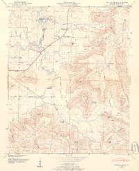
1950 Map of Center Grove
USGS Topo · Published 1976About this map
Brindley Mountain dominates the eastern half of this Alabama landscape, where deep coves like Widener Cove and Jackson Cove cut into the plateau. The rural character of Morgan County in the late 1940s is evident in the network of small family-centered settlements, including Woodland Mills, Florette, and Center Grove. Along the western edge, the rising waters of Wheeler Reservoir have transformed the lower reaches of Cotaco Creek, creating a distinct shoreline where the Tennessee Valley Authority established a formal boundary. Local life of the era is anchored by numerous landmarks such as Redoak Grove Church, Antioch Ch, and the Woodland Mills School. Genealogists may find value in the presence of scattered family burial grounds, including Collins Cemetery and the Edmonson Cemetery, which reflect the localized history of these mountain communities before significant modern development.
Find a feature on this map
71 named features on this map. Tap any name to fly to it.
Don’t see what you’re looking for? This feature index may not catch every label — zoom into the map to look around manually.
Map Details
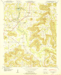
Editions of this 1950 Center Grove Map
2 editions found
Other maps of this area

1888 · Cullman
USGS Topo · 1:125,000

1888 · Huntsville
USGS Topo · 1:125,000

1892 · Cullman
USGS Topo · 1:125,000

1892 · Huntsville
USGS Topo · 1:125,000

1936 · Triana
USGS Topo · 1:24,000

1936 · Hulaco
USGS Topo · 1:24,000

1936 · Eva
USGS Topo · 1:24,000

1936 · Somerville
USGS Topo · 1:24,000

1936 · Lawrence Cove
USGS Topo · 1:24,000

1936 · Center Grove
USGS Topo · 1:24,000