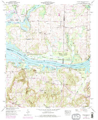
1949 Map of Mason Ridge
USGS Topo · Published 1975About this map
Wheeler National Wildlife Refuge dominates this section of the Tennessee Valley, where the Tennessee River - Wheeler Lake serves as the central artery for transport and ecology. The map reveals a complex system of water management, specifically the Rockhouse Buckeye Blackwell Dewatering Area, featuring a pumping station and numerous sloughs like Leemon Slough. Settlement patterns are defined by small rural hubs and family landmarks, from the clusters at Swancott and Wall Street to the scattered churches such as St Anne Ch and Oak Forest Ch. Historical river access points like Rockhouse Landing and Cain Landing indicate the long-standing importance of the river for local commerce, while the inclusion of many cemeteries, including Pebbles Cem and Thatch Cem, provides valuable points of interest for genealogical research in this riverine landscape.
Find a feature on this map
54 named features on this map. Tap any name to fly to it.
Don’t see what you’re looking for? This feature index may not catch every label — zoom into the map to look around manually.
Map Details
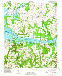
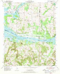
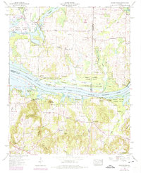
Editions of this 1949 Mason Ridge Map
4 editions found
Other maps of this area

1888 · Cullman
USGS Topo · 1:125,000

1888 · Huntsville
USGS Topo · 1:125,000

1892 · Cullman
USGS Topo · 1:125,000

1892 · Huntsville
USGS Topo · 1:125,000

1936 · Triana
USGS Topo · 1:24,000

1936 · Madison
USGS Topo · 1:24,000

1936 · Hartselle
USGS Topo · 1:24,000

1936 · Decatur
USGS Topo · 1:24,000

1936 · Somerville
USGS Topo · 1:24,000

1936 · Center Grove
USGS Topo · 1:24,000