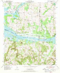
1949 Map of Mason Ridge
USGS Topo · Published 1971About this map
The Tennessee River - Wheeler Lake corridor dominates this landscape, where the Wheeler National Wildlife Refuge preserves the river's backwaters and islands. The 1949 field examination documents a rural society established on the higher ground of Turkey Mountain and Mason Ridge, while the river lowlands are a maze of ponds and sloughs like Buckeye Pond and Leemon Slough. Genealogists will find a high density of family and community burial sites, including the Hundley Cem, Ashford Cem, and Kolb Cem.
Find a feature on this map
59 named features on this map. Tap any name to fly to it.
Don’t see what you’re looking for? This feature index may not catch every label — zoom into the map to look around manually.
Map Details
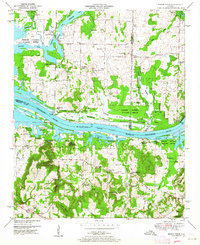
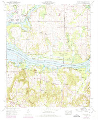
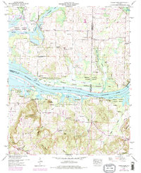
Editions of this 1949 Mason Ridge Map
4 editions found
Other maps of this area

1888 · Cullman
USGS Topo · 1:125,000

1888 · Huntsville
USGS Topo · 1:125,000

1892 · Cullman
USGS Topo · 1:125,000

1892 · Huntsville
USGS Topo · 1:125,000

1936 · Triana
USGS Topo · 1:24,000

1936 · Madison
USGS Topo · 1:24,000

1936 · Hartselle
USGS Topo · 1:24,000

1936 · Decatur
USGS Topo · 1:24,000

1936 · Somerville
USGS Topo · 1:24,000

1936 · Center Grove
USGS Topo · 1:24,000